RAZBAM have at long last taken the wrapper off their new DCS: South Atlantic map project and given us our first taste of this new scenery and map pack for DCS World. I’ve spent a couple of hours zooming around different parts of the landscape and these are my first impressions.
What is DCS: South Atlantic?

DCS World has, to date, covered some interesting but also somewhat predictable locales. The Caucasus map covers the Black Sea and can be used as a kind of sandbox for both hypothetical and very real combat zone. It’s the classic DCS World map.
Following that we saw a third party effort later get taken on by Eagle Dynamics in the form of DCS: Nevada. There was also DCS: Persian Gulf, Ugra Media’s DCS: Normandy and DCS: Syria and Eagle Dynamics DCS: The Channel. The most recent map to release was the free DCS Marianas Islands. That’s the very abridged history of maps and scenery for DCS and now we arrive at DCS: South Atlantic.
When RAZBAM first revealed this project it was primarily centered around the Falkland Islands. Later it grew and then grew some more until RAZBAM essentially packed in the whole of the southern tip of South America.
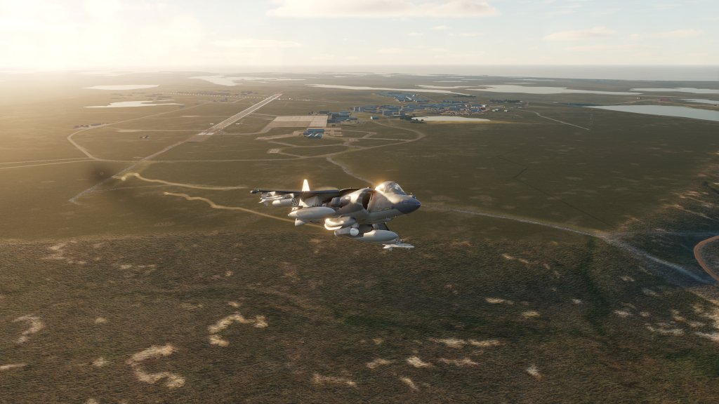
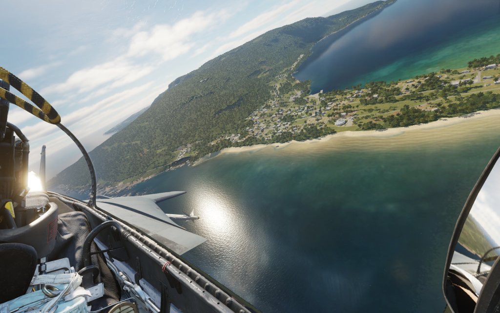
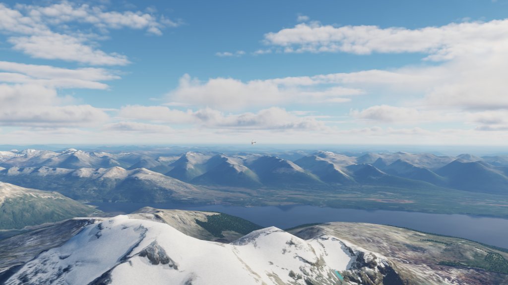
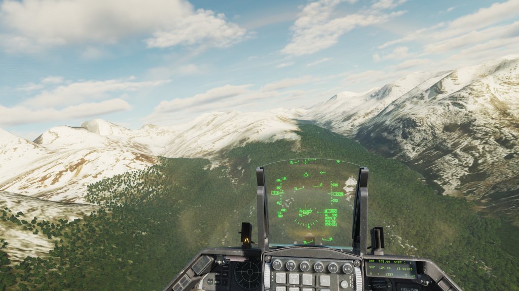
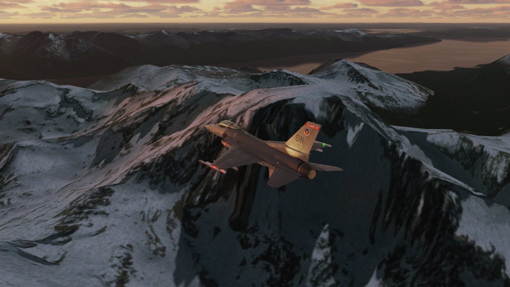
There are benefits to having this immense size of map. 3.1 million square kilometers of terrain are represented including the windswept city of Ushuaia in the south and the rugged Puerto Santa Cruz in the north. Dominated by mountains, glaciers, glacial lakes, and rocky terrain, there is quite a bit of variety to the southern tip of South America.
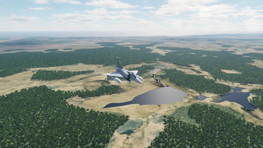
The map also has ample water coverage making this a potential candidate for naval duel scenarios that don’t feature carrier battlegroups already on top of each other right away.
How does it look?

I had some concerns going into this and I fear that those concerns have largely been realized.
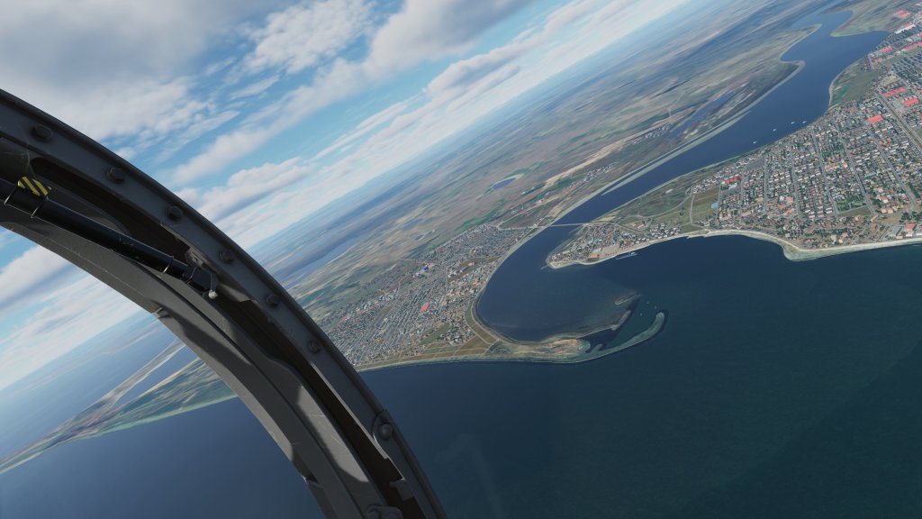
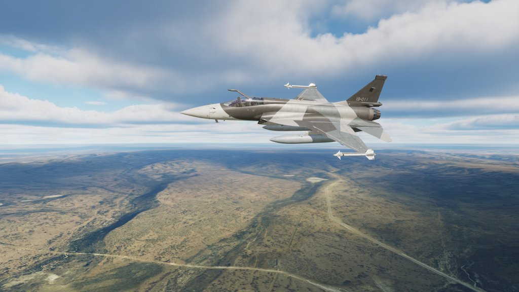
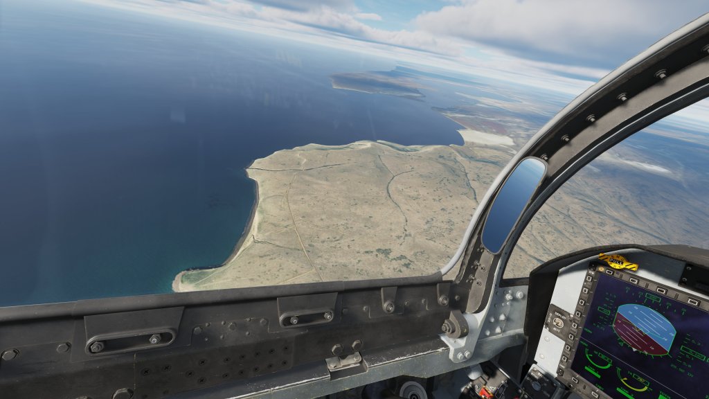
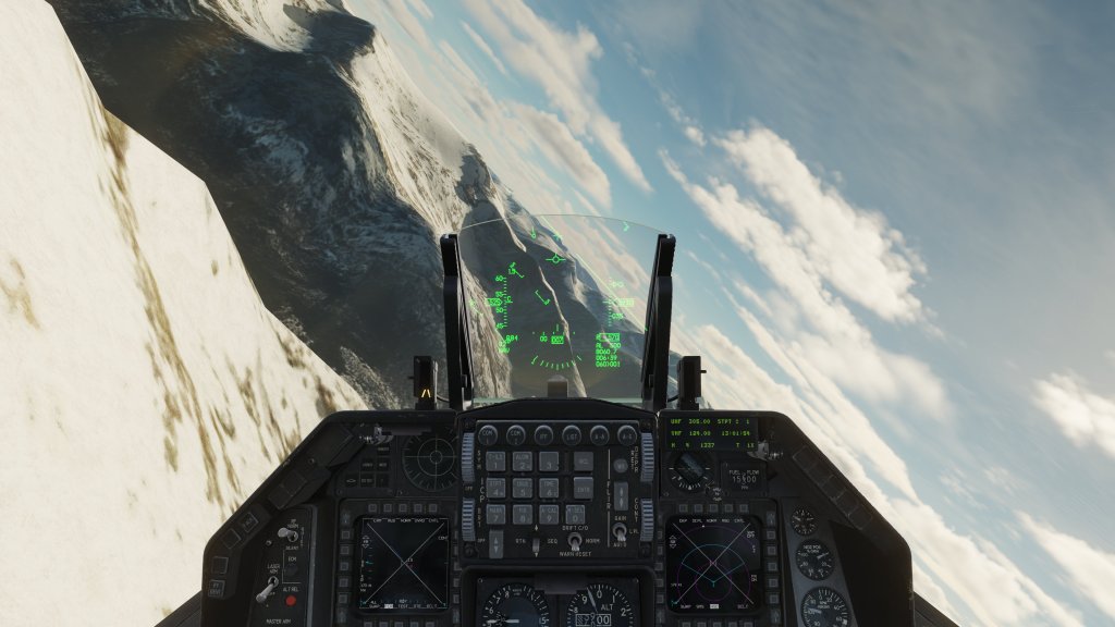
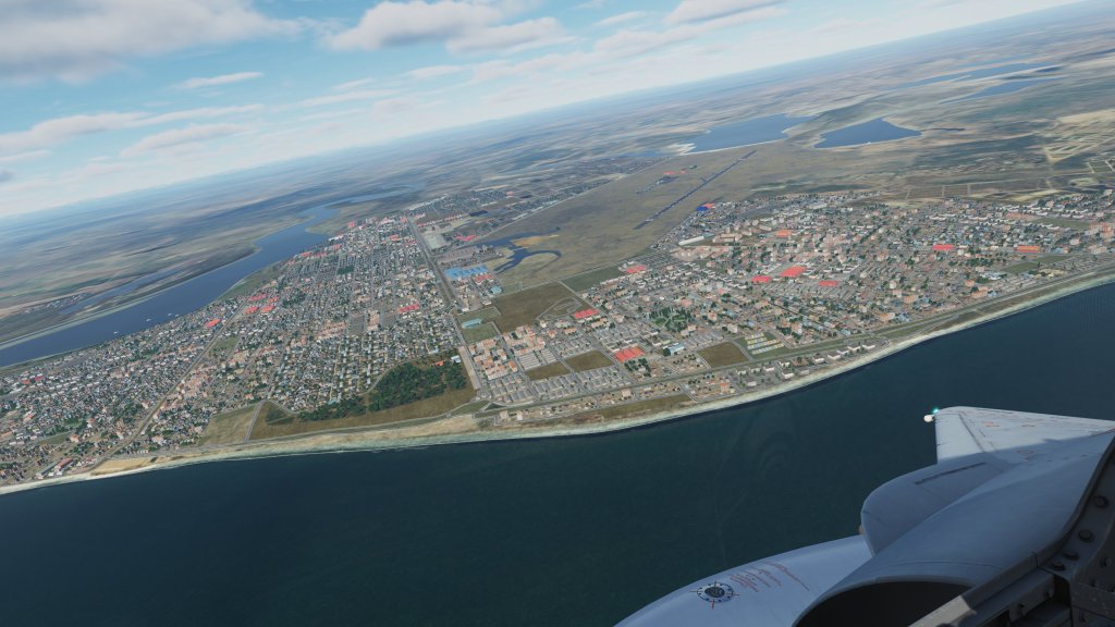
Satellite imagery is difficult to get right and DCS: South Atlantic highlights it. Up at higher altitudes, the stunning mountainous regions on the tip of South America and the stark beauty of the Falklands stands out and works well. Stay at those higher altitudes zooming along in a jet fighter and you will be relatively pleased with the outcome.
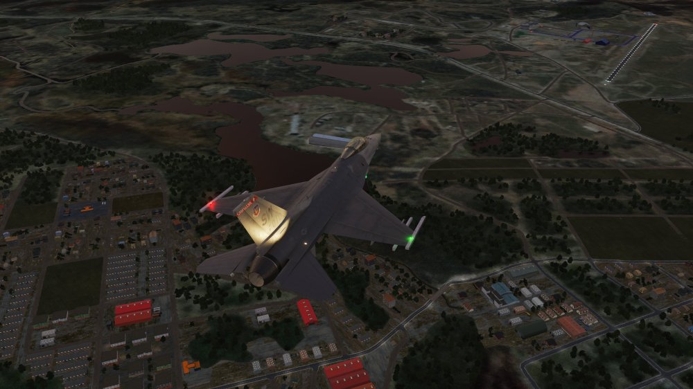
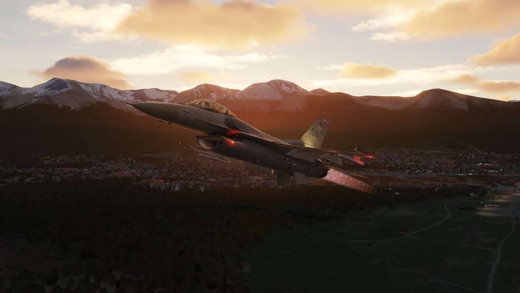
Fly a helicopter or get down low with those high flying jets and the whole thing starts to look a little less convincing.
I’m not new to reviewing satellite ortho imagery based scenery. Some of my favourite scenery packs from the likes of Orbx have done a phenomenal job of giving a region high quality satellite imagery and autogen. In many ways, DCS: South Atlantic reminds me more of a Orbx TrueEarth project than it does a conventional DCS map. But there are limits to how well that process works and this scenery pack is definitely running up against them.
When comparing it to those other scenery packs, the satellite imagery here is definitely of a lower resolution. That’s no doubt a constraint of either hard disk space or a performance consideration with DCS World or both. Other maps in DCS World tend to use even lower resolution ortho but back it up with high quality “painted” on scenery textures that they blend in. This is why DCS: Persian Gulf looks reasonably good most of the time because it uses both methods. DCS: Syria too.
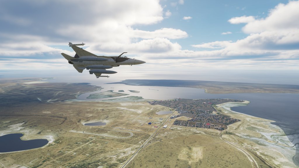
The map also doesn’t currently have much or any work done on the coastal regions or the innumerable lakes and streams. DCS: Syria and Marianas Islands, by contrast, have very detailed transitions but this map doesn’t currently have them or if it does they don’t stand out well.
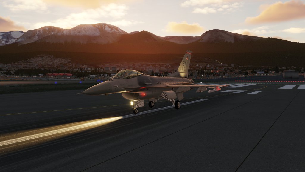
There are some great custom assets that have been created of the scenery. Those include some Killer Whales (I haven’t seen them yet) and animated lighthouses and construction cranes. There’s also plenty of airport assets and lots that I haven’t seen yet.

How does it perform?
Here I have to also, unfortunately, give middling grades here. My first experience with the map was supremely disappointing. With my new system packing high spec CPU, GPU, and RAM, there’s little that DCS can throw at me these days in 4K resolution that causes it to even consider having a little hiccup. This map, however, was a challenge out of the gate.
I did solve a great deal of that by rebuilding DCS’ shaders. Deleting the ‘fxo’ and ‘metashaders2’ folders is a common performance increasing method when jumping between updates and that did solve a number of issues with performance but it didn’t fully alleviate them.
I still see performance declines over areas with dense buildings. Declines that I don’t see with Persian Gulf or Syria. It doesn’t run badly but it could, obviously, be better.
What is this map for?
I’ve been pondering too what DCS: South Atlantic is all about. It’s a bit of a complex question. First, RAZBAM have stated repeatedly that they aren’t simulating a specific conflict with this map. And to that end they have created a modern version of the area rather than creating what existed during the only conflict to have occurred there in the last 40 years – the Falklands War between the UK and Argentina.
On the other side of the coin, RAZBAM are building an asset pack that is included in the purchase of the map, that will give us many of the vehicles and warships required to simulate that. And they are also busy building assets that may become either AI or flyable modules for the future that would enable us to simulate that 1982 scenario.
It’s an interesting mix of purposes that sometimes feel a little at odds with each other.
That said, DCS World has definitely marketed itself and has been hailed as being a sandbox experience and so there are plenty of fictional scenarios that could easily play out here. Chile and Argentina have had both hot and cold relationships and with both countries having a presence on the map its possible for a scenario to be created out of that.
There’s also a tremendous amount of ocean area enabling naval operations on a large scale. Modern modules could easily be shoehorned into a clash between China and the west over fishing rights in the area. Or any other number of fictional scenarios could be created based on the map.
From that perspective, DCS: South America offers quite a variety of scenery and places to fly. BVR duels over and between fjords could certainly be gripping. Defending the Falklands from an aerial assault with modern aircraft is just as possible as a historical scenario.
Final thoughts
I have mixed feelings about DCS: South Atlantic. I appreciate that RAZBAM is playing what is likely a very long game here with plans for additional content (and possibly modules) to support this project over the long term. Between the ships, vehicles, and the scenery, there’s potential here to simulate combat scenarios that just haven’t been covered by a major simulation.
I also appreciate that this is an early access release and there are things that aren’t done yet. RAZBAM have already said that mountain textures and elevation data will be improved. I have confidence that the performance of the map will also improve and that there are going to be some efficiencies found as they continue to develop.
I worry a bit more about some of the visuals that might be harder to fix. It’ll be hard to turn this into the kind of visual masterpiece that Eagle Dynamics has managed with DCS: Marianas Islands (albeit at a performance cost) or DCS: Syria where Ugra Media have managed some sort of miracle there. Ugra Media, of course, have the early version of DCS: Normandy to look back on where there were no doubt many lessons learned and the upgraded version 2.0 of that product really helped change the whole way that we look at the map. This map may follow a similar trajectory as RAZBAM learn more about the map building process.
DCS: South Atlantic is an ambitious project. I don’t think it’s fully realized yet and I have to give kudos for doing something new and different. This project has a ways to go to become a more satisfying product but I’m ok with walking that road. You will have to decide if you are too.
I’ll be keeping a close eye on further developments as this progresses!
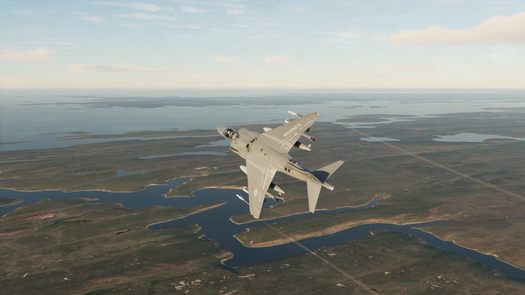
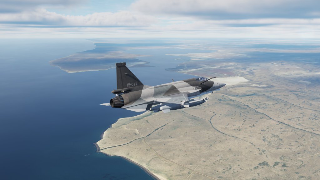
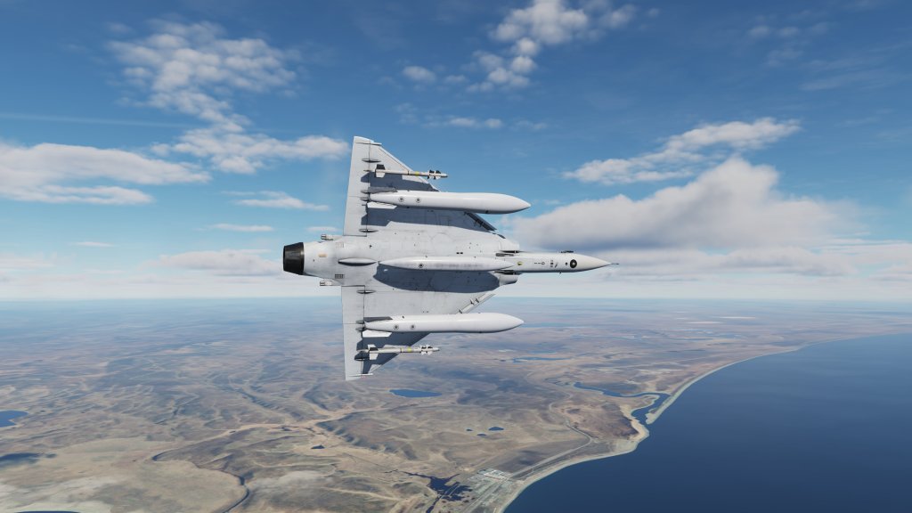
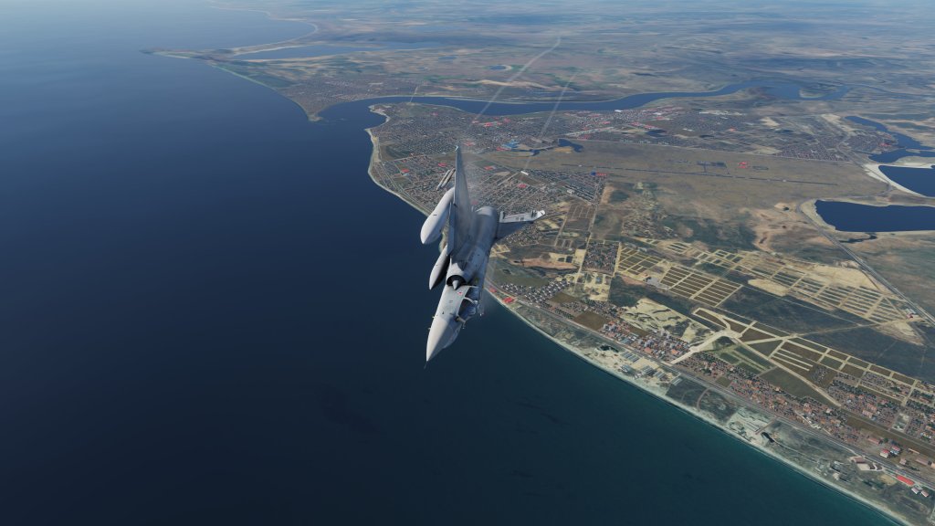
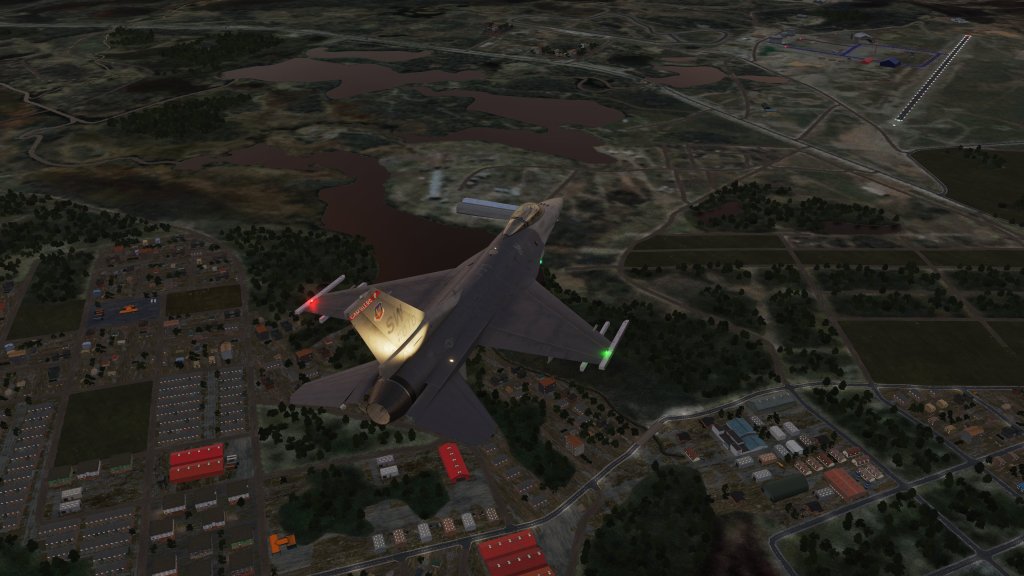
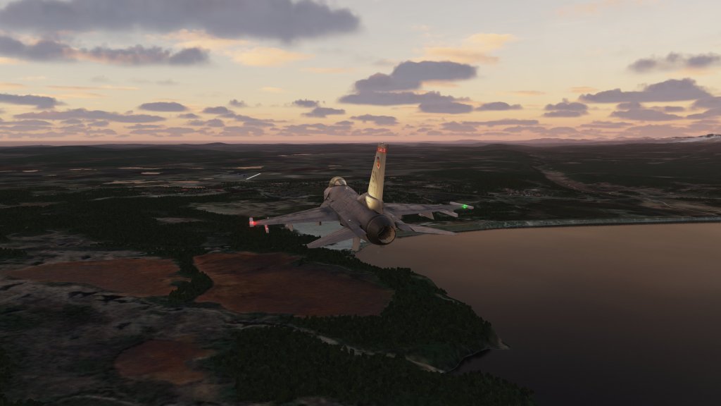
Screenshots


Leave a comment