The map announcements and details keep flowing from the folks at Eagle Dynamics. This week, during their DCS World Weekend News update, they have revealed a new map from a new developer as well as revealed more details about their plans for their own WWII Marianas map. Let’s have a look!
Heading to the Sinai
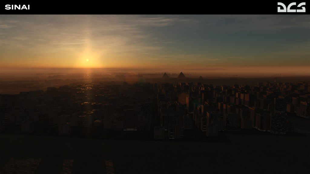
The Sinai Peninsula, road bridge between Africa and Asia, and at a couple of occasions during the course of the 20th century a major conflict zone. Sandwiched between Israel and Egypt, this is an area rich in ancient and modern history
A new developer, OnReTech, is listed as the authors behind this new map. Eagle Dynamics reports that the map will be 1500 x 1000km in size with a 700x700km segment being presented in high detail. Here’s a little more about what the map will include:
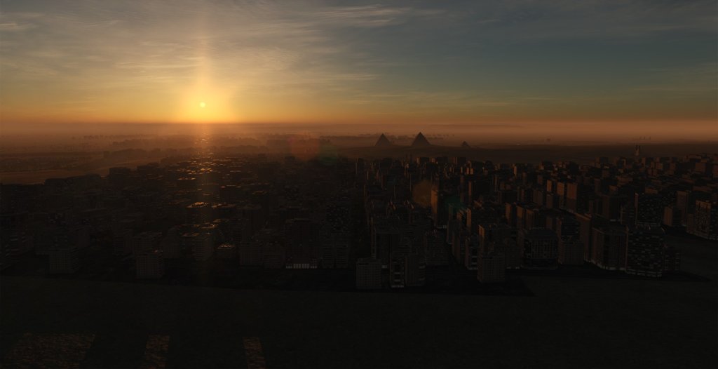
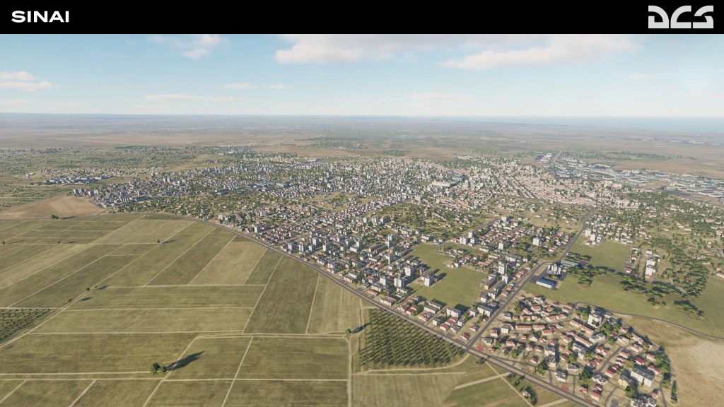
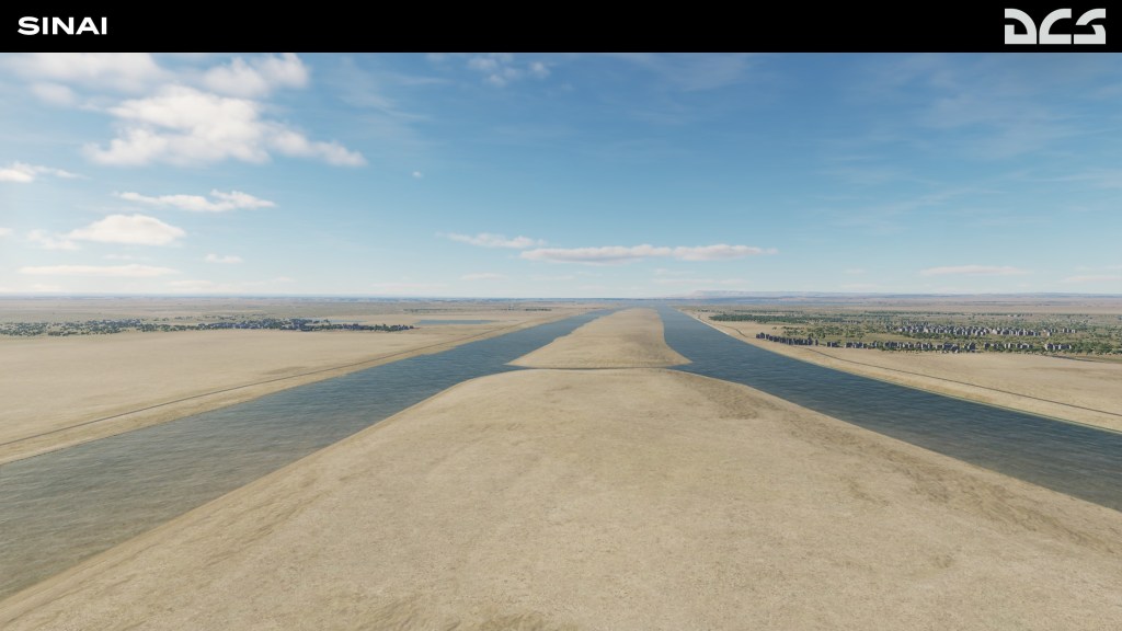
The map includes the entire Sinai Peninsula, eastern Egypt and the Nile Delta, southern Israel including Gaza, western Jordan, and western Saudi Arabia. This area features a wide variety of landscapes like mountains, rivers, desert, agricultural areas, sea and bays that provide a variety of mission and campaign settings.
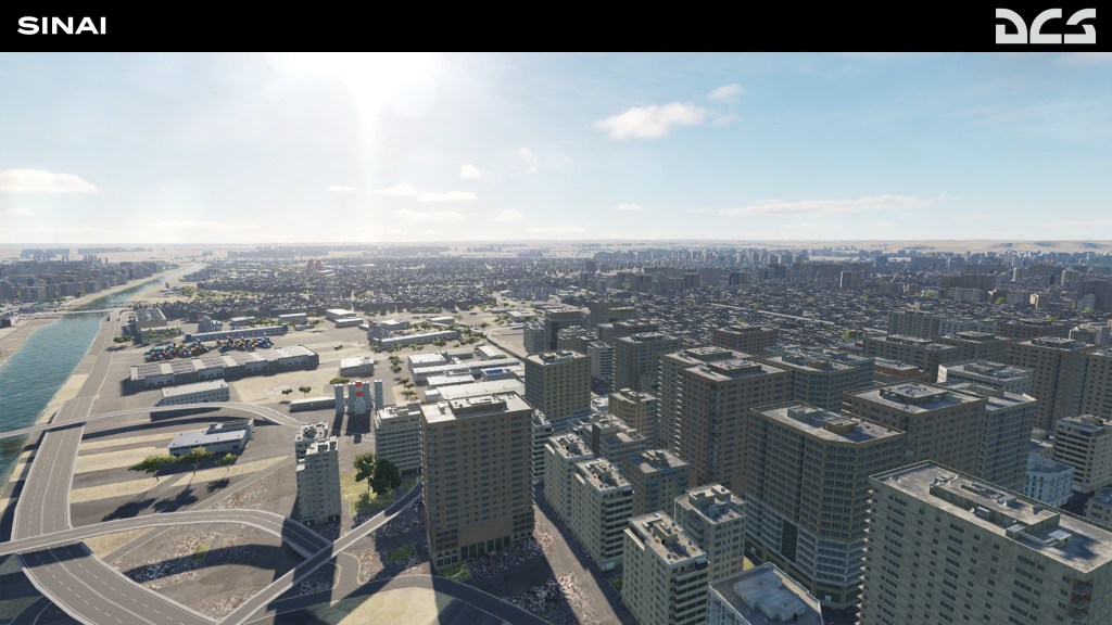
The map is a modern day recreation. It will reportedly have military facilities, major cities including Cairo, 40 airfields, 100 points of interest including monuments. Even the great Pyramids are shown in one of the screenshots.
Notably, the map is intended to release in three phases. The first phase will incorporate the entire map and 14 airbases. A second phase will add 11 more airfields. A third phase will had 12-14 more Egyptian specific airbases. The first two phases will be presented during early access with the third and final phase helping to finish off the map.
It’s an interesting way to approach it and it sounds like each step of the way has been laid out by this team. Good to know!


Historic Marianas
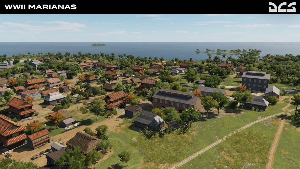
We already have the free DCS: Marianas Islands map available to us and Eagle Dynamics are now working on their WWII edition of the same map. In this latest update we’re learning about some of the details that are going into it such as their use of pre-invasion maps provided by the United States Navy.
This version of the map features the expansive sugar cane plantations, the original Japanese airfields, historically appropriate coastlines, and the small villages that dot the map. A very different looking experience from the cities and towns that now cover the area.
Have a look at the latest screenshots!

And of course you can read all about it from Eagle Dynamics and their DCS World Weekend News update.


Leave a comment