I’ve talked about how much further ahead DCS World 2.5 has pushed with their scenery sets in the form of Persian Gulf, Normandy, and the forthcoming Syria map but I want to take a look at what’s happening over with X-Plane 11 and Orbx for a moment because I think you’ll be really surprised at just how good that sim is looking these days. Orbx has just released a teaser trailer for TrueEarth US Washington for X-Plane 11 and its really stunning. Let’s have a look!
Beautiful scenery
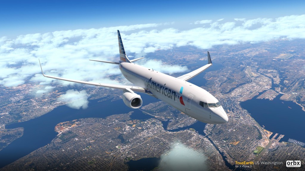
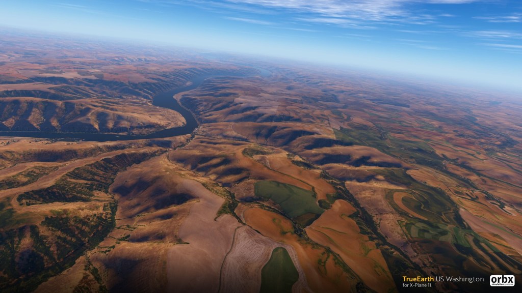
Orbx is a scenery maker first and foremost and they’ve done some great work for FSX, P3D and X-Plane. This latest update takes the team back to one of their original projects covering Washington State with a diverse array of terrain from ocean to mountain to rolling hills and what appears to be more desert like features.
The map covers 91,875 square miles (237,956 km²) and includes most of the state of Washington, USA as well as parts of British Columbia, Canada (notably Victoria) and a small piece of Oregon, USA.
Here are some of the other feature details coming from their recent announcement:
- 91,875 square miles (237,956 km²) of hand-corrected, crisp, color-matched aerial imagery
- New PBR autogen technology developed especially for X-Plane 11, allowing thousands of realistic looking PNW-themed houses and buildings to be placed at a realistic height with minimal impact on performance
- 1,174 custom-modeled PBR 3D POIs
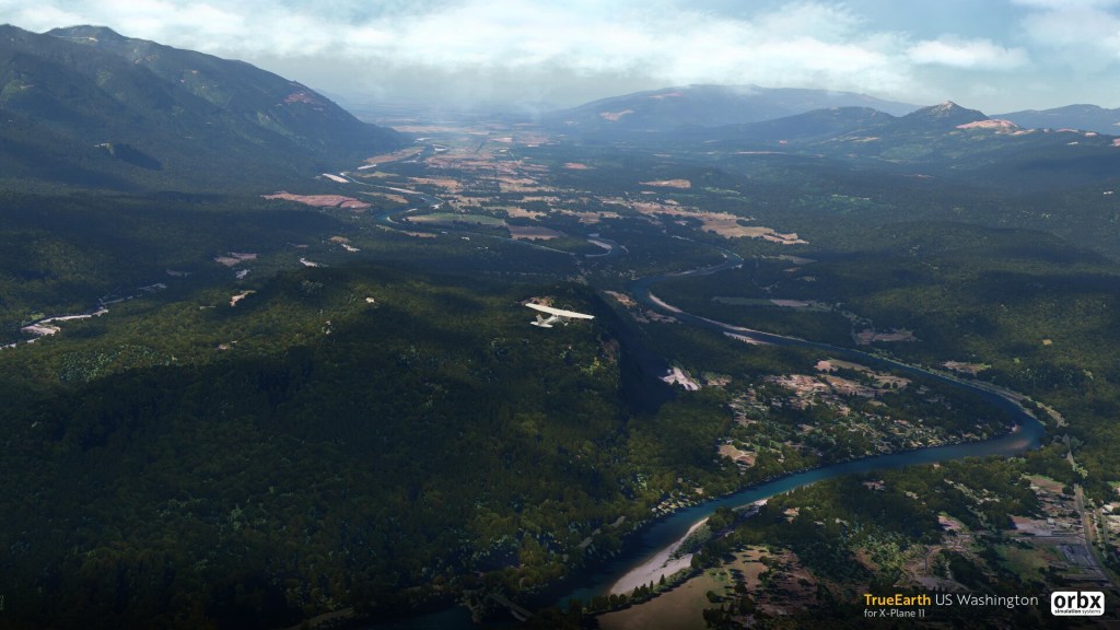
- Over 500 million trees placed correctly based on detailed land use and high-resolution height data
- 42.6 million buildings at their correct height and location where data is available
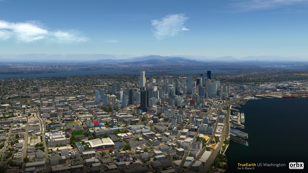
- Major Cityscapes for Seattle, Bellevue, Victoria, Tacoma and significant buildings added to Everett, Olympia, Spokane, Kennewick and Yakima
- VFR landmarks such as masts, wind farms, churches, power-lines, and lighthouses are all accurately placed.
- Hand-placed and custom modelled 3D landmarks placed throughout the scenery such as bridges, skyscrapers, stadiums, cranes, tanks, piers farms, and monuments – this is especially noticeable in city areas
- Sharp and detailed 10-meter mesh brings out stunning detail in natural features such as mountains, coastlines and valleys
- Superb watermasking along the entire coastline and most rivers and lakes
- Accurate road and rail network blended into the aerial imagery with moving traffic
- Summer season only with full night-lighting supported
Orbx is using aerial imagery to create the scenery which, in my experience has never really looked very good at low altitudes (where DCS and IL-2 aircraft often operate). This, however, seems to have transcended that with ample buildings and features that seem to blend the terrain beautifully having much less of a ‘downloaded from the satellite straight into your sim’ look and more of a hand crafted approach. Eagle Dynamics did this to some degree with Persian Gulf as well but I have to say that this scenery pack just pops out of the screen beautifully.
Still images are one thing but the recently release teaser trailer is a 4-minute preview of what the June 2019 release will be like. It looks brilliant in motion and it’s really a step forward from what I’ve seen previously from photo realistic attempts at satellite terrain.
Perspective
Of course, X-Plane 11 and its users have different expectations from DCS and IL-2 fans when it comes to scenery. Those combat sims need high performance and are typically willing to sacrifice some of the visual fidelity when it comes to scenery to achieve that. Still, with X-Plane and Orbx pushing the envelope here its just a matter of time before other titles catch up and make use of increased CPU, GPU and memory capabilities.
In the end I wanted to share this because of how incredibly good this looks. Make sure you check out the trailer above to see what it’s all about.
If you’re an X-Plane or Orbx fan, feel free to give me a shout in the comments and let me know if you have any favourite scenery packs that I should look into. Do any of them come anywhere close to this?

Leave a reply to Mischiew Rithe Cancel reply