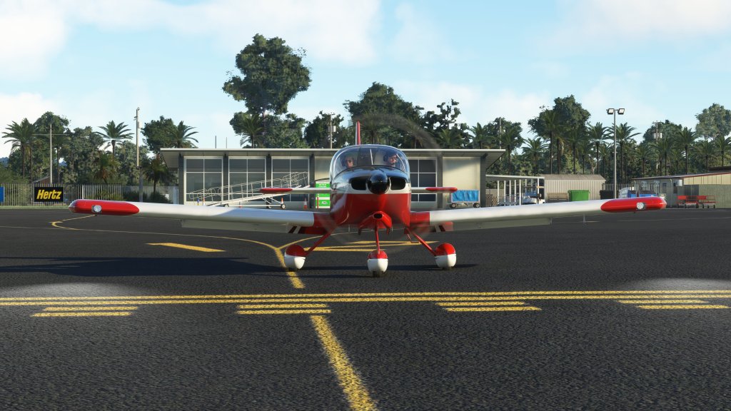
It’s been a while but I’m doing a new cross country journey in Microsoft Flight Simulator! I was so impressed with the SimWorks Studios RV-10 that I wanted to put it to immediate use in a cross country tour so it will be my aircraft of choice for part one of a New Zealand cross country! In part one I will go from the northern tip of North Island and then work my way south.
From Waitiki Airport (NZWQ) to Whangarei Airport (NZWR)
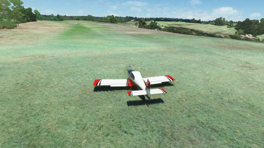
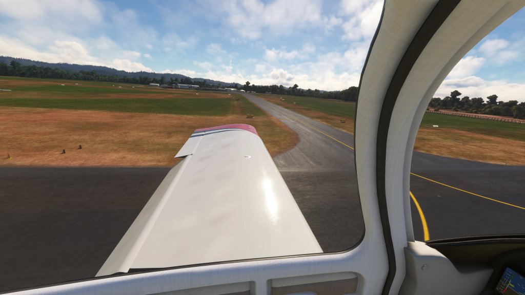
Starting as far north as possible, my starting point takes me to Waitiki Airport. This is a small grass strip that is very hard to make out from the air or on satellite photos but its certainly there and its the northernmost airport of New Zealand in the sim. I elected to make this my starting point.
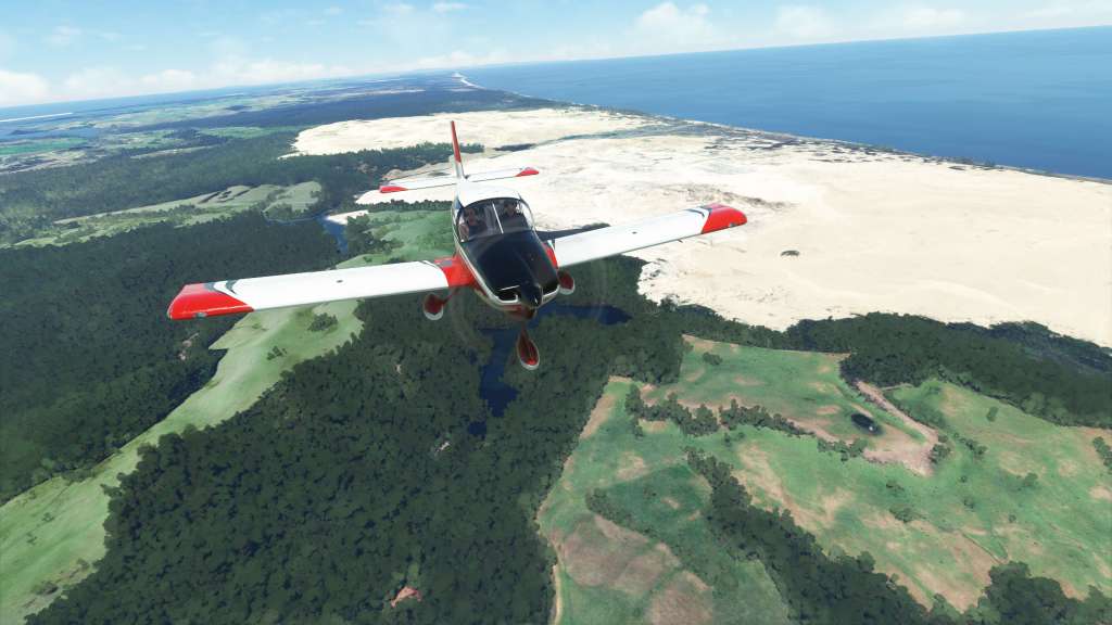
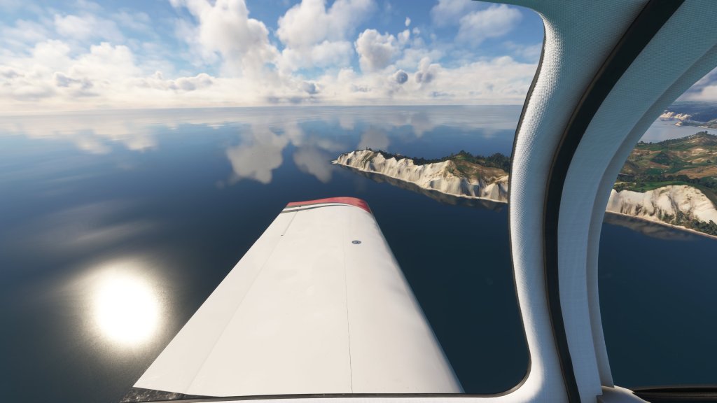
Shortly after takeoff I cruised north for a brief time crossing the Giant Sand Dunes before hitting my first point of interest with the Cape Reinga Lighthouse. Circling around it briefly I made the turn south and on with the rest of the tour. More white sand dunes of the Te Pua Reserve appeared underneath as I followed the eastern coast for a while.
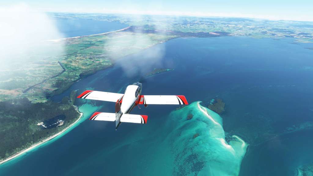
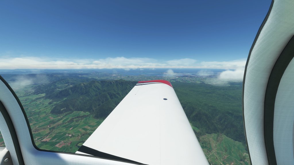
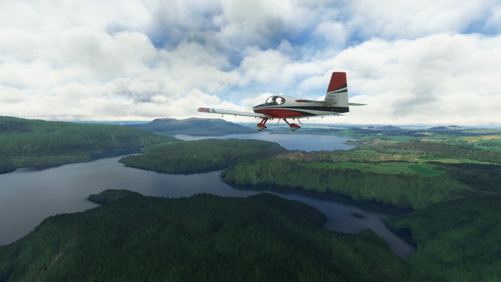
As part of the World Update, parts of New Zealand have some impressive water masking implemented leading to some beautiful scenes.
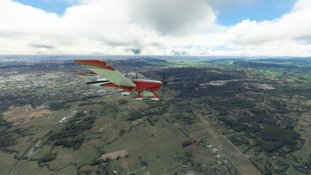
After cruising for about 45 minutes I arrived at my first destination: Whangārei and Whangarei Airport (NZWR). The airport is one of the 9 handcrafted airports that came free with the New Zealand World Update and so it was only fitting that I stopped off here. The airport supports small turboprop airliners, helicopters and GA aircraft and is a base for the New Zealand Northland Emergency Services Trust (NEST) who fly search and rescue operations. A key location indeed!


From Whangarei Airport (NZWR) to Ardmore Airport (NZAR)
My second flight in the RV-10 was a pure joy. Starting from Whangarei, I set course for a smaller airport on the outskirts of Auckland. The scenery on the way was of course incredible with harbours and inlets all the way down the coast along with what look to be some great beaches.
Auckland is one of the cities that has been given photogrammetry attention and seems to sport better details than average. I did a brief detour over New Zealand’s most populous city before heading south to the airport at Ardmore. This airport is home to the New Zealand Warbirds Association which automatically puts it on my list of places to visit if I ever travel down that way myself.


From Ardmore Airport (NZAR) to Rotorura (NZRO)
The good, yet breezy weather, has continued on my journey and I was treated to yet another very scenic flight. More vertical elevation was present on this part of my journey with Kaimai-Mamaku Forest Park being a dominating feature of the landscape off to my left side as I journeyed down to Rotorura.
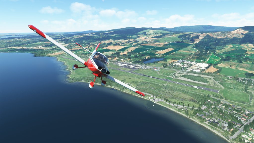
Rotorura airport is located on the shores of Lake Rotorura. The area is known for its geothermal activity as well as a living Māori village and the New Zealand Māori Arts and Crafts Institute with traditional art practices in active use. Again, an unbelievably scenic region (sensing a theme here?) and another handcrafted airport from the world update.


From Rotorura (NZRO) to Gisborne (NZGS)
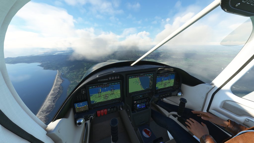
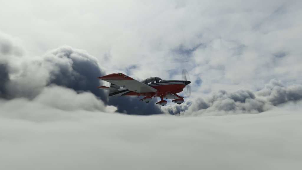
The last several flights have been in mostly clear, if a bit windy, weather but this one was different with thicker clouds, multiple cloud layers, and yes still a good amount of wind and turbulence even.
The weather made this flight more of a challenge. I aimed to observe VFR flight rules as much as possible on these VFR cross country flights so I did my best to stay out of the clouds and avoid hazardous weather conditions that might cause harm to my small airplane.
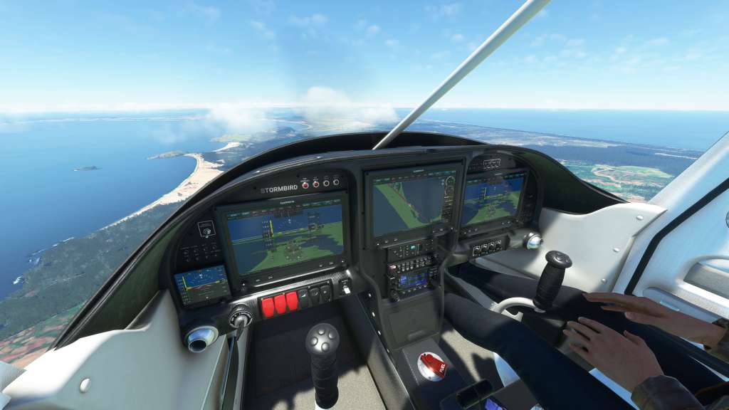
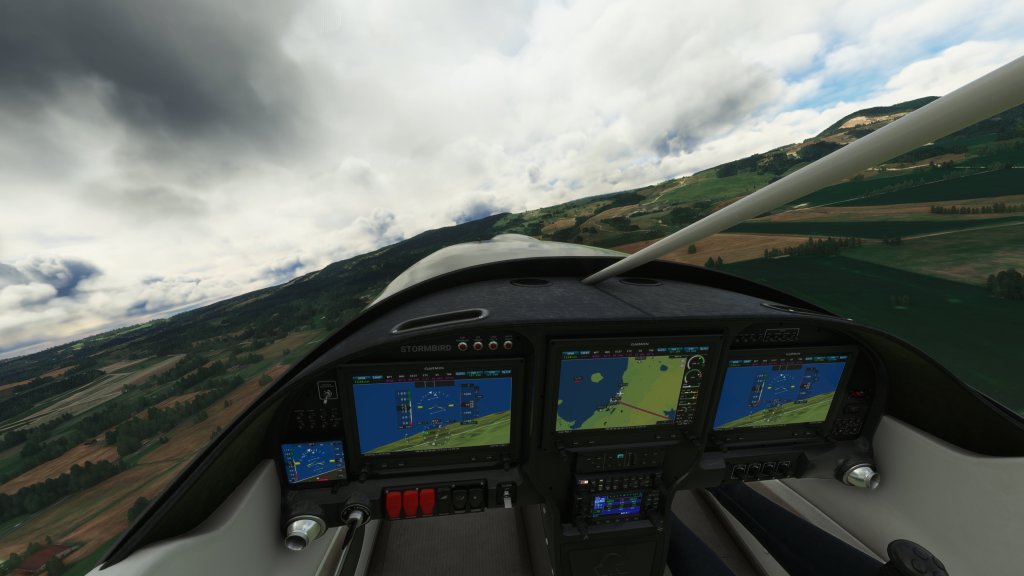
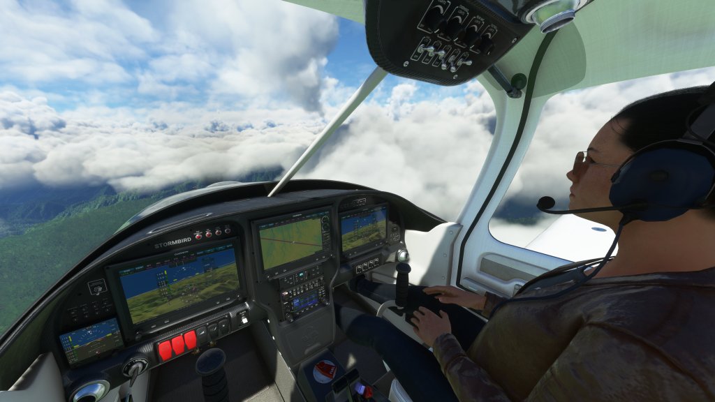
The scenic nature of the flight continued but the clouds added a whole new dimension. Dodging some of the heavier in nature conditions. Fortunately I was able to cloud skim on the way in and the RV-10s G3000 displays give you a lot of confidence about what is ahead of you.
After a few detours around, I managed to arrive at Gisborne. This isa city on the east coast of New Zealand’s North Island and is reportedly known for its wineries and great surfing opportunities. This was yet another handcrafted airport and quite an interesting one at that with open air shelters for aircraft and a small terminal. I’ll be back to visit these airports with an ATR at some point I’m sure!


Gisborne (NZGS) to Wellington (NZWN)
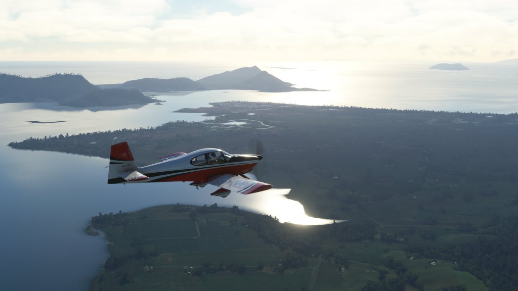
With better weather now in place I prepared for the next leg in my journey. I had thought about doing this next segment in two parts, however, I had some spare time and decided to make this a 2-hour trip from Gisborne down to Wellington – the capital of New Zealand. There are a couple of airports I could have stopped at along the way but decided to blast all the way down.
Taking off from the scenic views of Gisborne, I briefly headed over the water to check out a local landmark and geological feature. There are two names for this peninsula. The first is the local name that the Māori gave the feature. Te Kuri o Pāoa which translates to The Dog of Pāoa derived from a legend of a lost dog and the cliffs resembling a crouching dog. The other name was given by Captain James Cook who had setup a contest among the crew offering the reward of two gallons of rum and being named after a prominent landmark to anyone who spotted land. 12-year-old Nicholas Young was apparently the first to spot this landmark and thus the name of Young Nick’s Head has also been given. Interesting stuff!
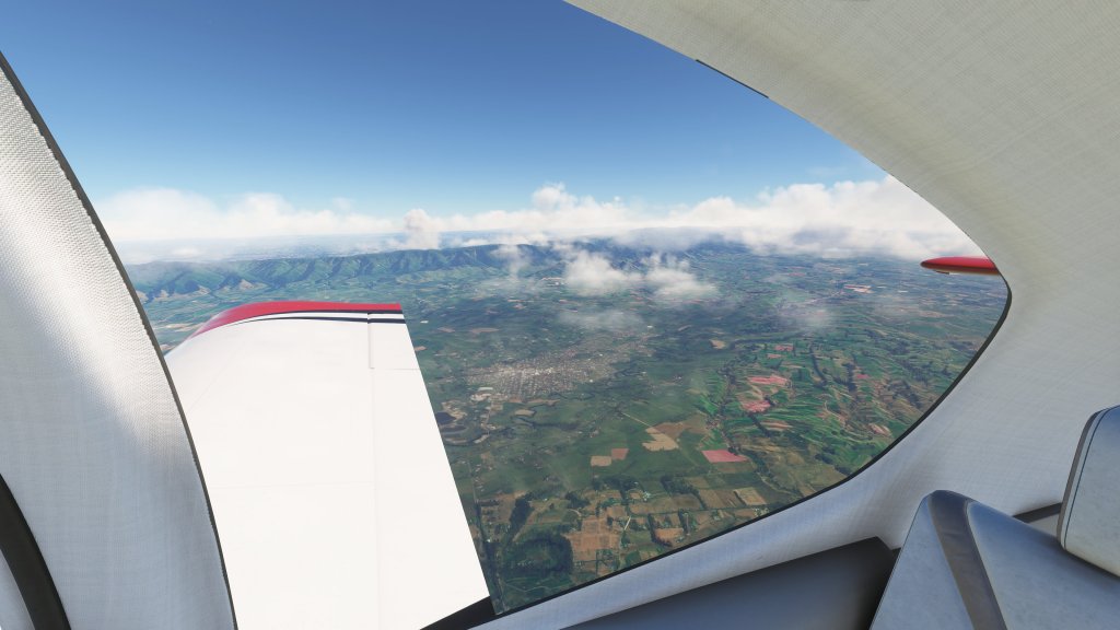
On with the flight and I elected to climb to 5,000 feet at first and then later 8,000 feet as I crossed over some slightly more rugged terrain. Low clouds and a few stormier looking formations also had me climbing up above that. As I crossed over Napier and Hastings I began to spot mountains on my right. These were Ruahine Forest Park at first and then later the taller peaks located inside the Tararua Forest Park. Turbulence increased as I neared the second mountain range and I took the opportunity to do a bit of hand flying… as well as put on the Lord of the Rings soundtrack. It seemed fitting as I flew over some locations that were used in the movie.
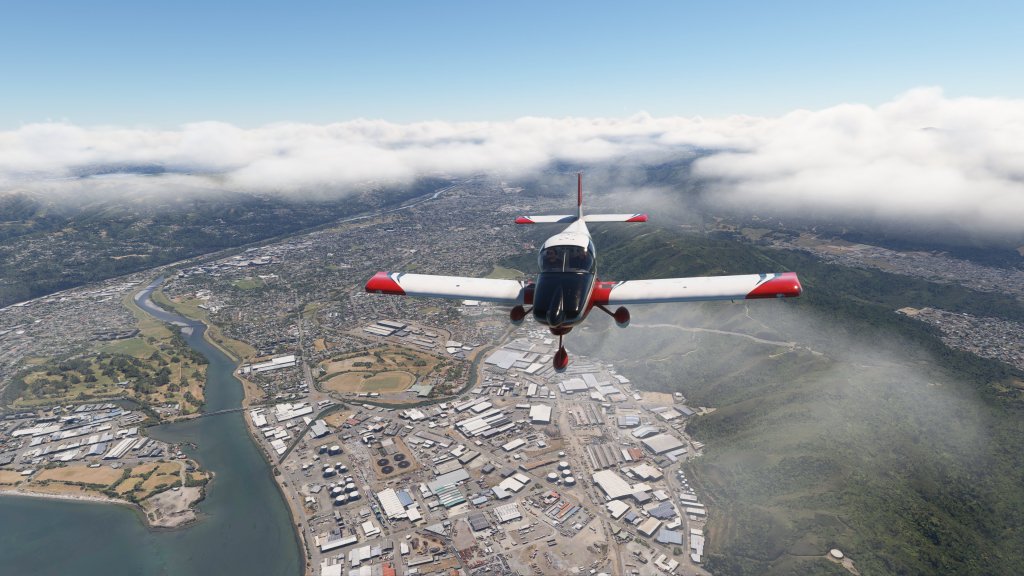
Across the mountains I was now entering into the Wellington area flying over Stokes Valley, Petone and then into Wellington itself. This is one of the most spectacular regions I’ve visited in MSFS to date with the mix of harbour, mountain, valley, and urban areas all together. Though I don’t have scenery for NZWN Wellington Airport it will go up high on my list to get in the future.


A stunning flight and a fitting way to end part one! Stay tuned for part two as I venture to south island with a new airplane and some new experiences.


Leave a comment