We’ve got some new details to have a look at for 1CGS Korea IL-2 project. There’s some further discussion about the map including reiterated size and some interesting features that we’ll see for the project. We’re also getting some new images. Let’s have a look!
The Korean peninsula


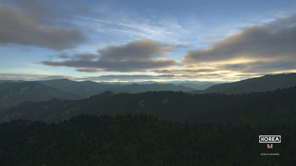
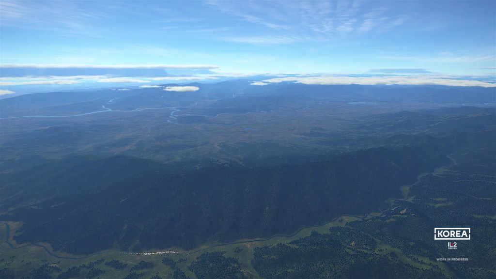

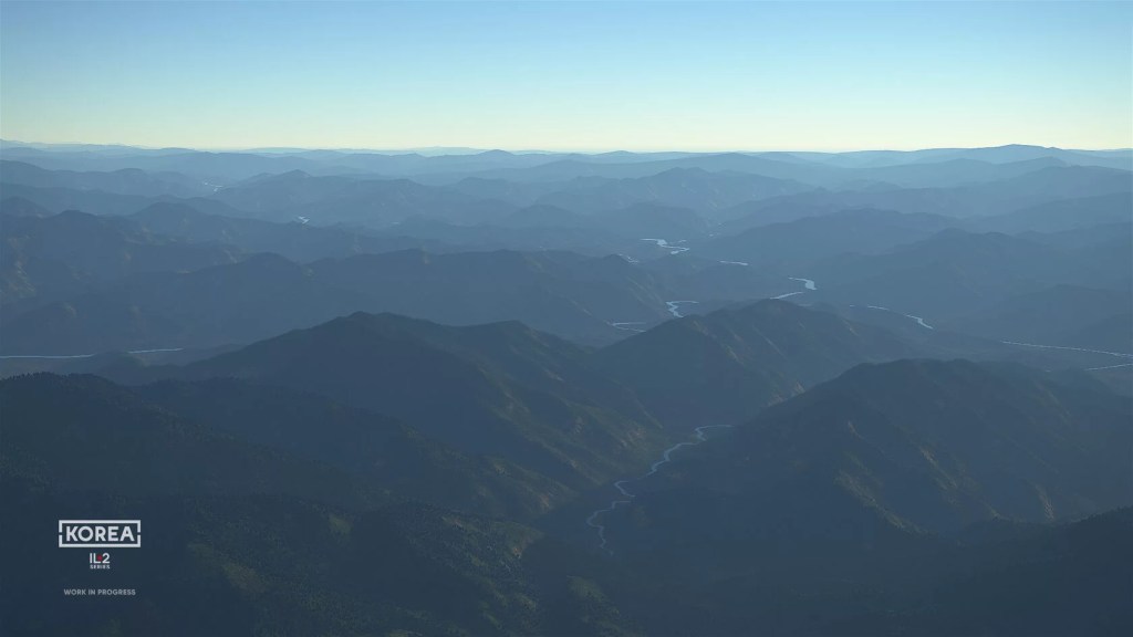
I’m pretty excited about the new map that is underway for Korea IL-2. It’s an interesting area with varied terrain and some gorgeous mountains. Great fun for combat sim flying from the looks of things.
We’ve learned from the most recent update that the map will have four times higher resolution elevation detail for better mountains, hills and valleys. The change also means that airfields will, for the first time in the series, have uneven surfaces.
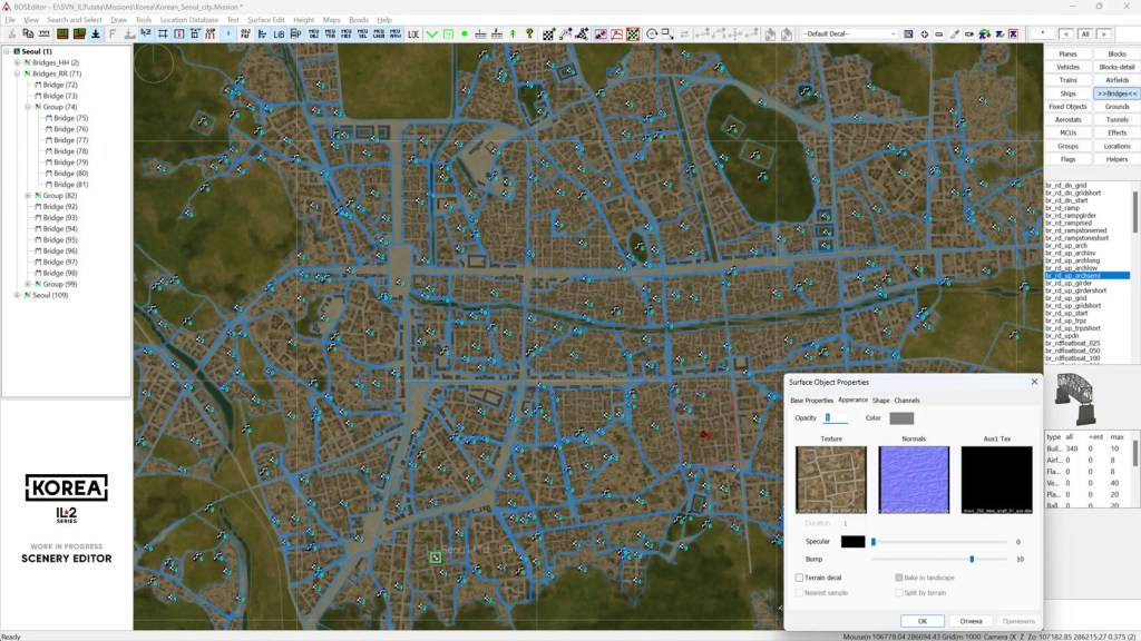
Other features of the map include reservoirs, hydroelectric dams and powerplants. There will be over 800 settlements on the map including a few urban areas. It sounds like they have done a lot of research to represent the coastline and the settlements as they were in 1950 rather than as they are now – I probably don’t have to tell you what a megalopolis 2020 Seoul is!
Work is ongoing with 1460 bridges already placed and work on vegetation, textures, 3D railway tracks, night lighting for cities, telegraph poles and other details being added.


Leave a reply to ShamrockOneFive Cancel reply