
There’s been a few significant volcanic eruptions in the world recently but none appear more dramatic than the one currently underway on the island of St. Vincent. The La Soufrière volcano first erupted a couple of weeks ago and has since had several explosive events. Many people are being evacuated and whole villages on the island are threatened. The humanitarian concerns are serious as food and supplies are a significant problem and the volcano itself is spreading ash and toxic clouds tumble down the sides of the mountain. Ignoring a very real world disaster for just a few moments, I was curious to see if this geologic event might show up in Microsoft Flight Simulator through it’s live weather. This is what I found out.
Why would it show a volcano?
Microsoft Flight Simulator offers some interesting experiences that are connected to the real world. The sim’s ability to ingest live weather data and display it visually on screen is nothing short of impressive. Last year I went hurricane hunting and saw some incredible and haunting cloudscapes the likes I have never seen before in a simulator.
Hurricane’s and storm fronts are large scale weather patterns so you expect a live weather system should be able to do them some justice, whereas a volcano tends to be slightly more localized. But not always. They can cause issues across a large area with one of the best recent examples being the 2010 eruption of Eyjafjallajökull in Iceland that affected and shut down air travel across much of Europe for weeks.
La Soufrière may have more of a localized effect but it is still a weather phenomenon as much as it is a geologic one. Example being this tweet by Kaylan Patel who compared satellite imagery using false colour for cloud temperatures. Notice the difference in the lower left corner as the volocano goes from dormant to explosively erupting.
But does MSFS’ weather engine have the ability to capture something as specific as this? I wanted to find out.
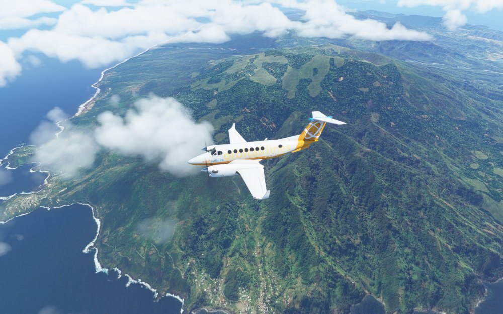
First flight: Trip to nearby Barbados
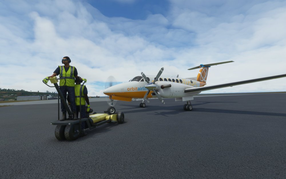
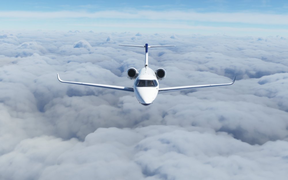
I decided to role-play my first flight and selected the King Air 350i to fly my virtual passengers away from the island and over to nearby Barbados. I powered the King Air up and backtracked to the end of runway 04 before departing north over the island.
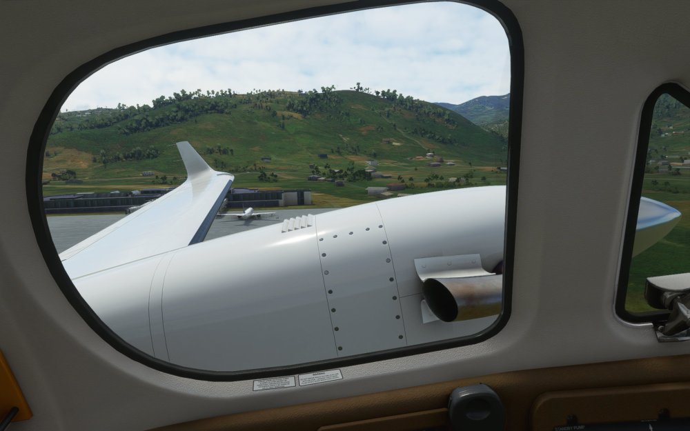
Turning left after take off, I used the King Air’s impressive climb rate to get up and over St. Vincent’s mountain range. There were heavy clouds near the volcano so I wondered if the sim’s weather engine had indeed picked it up.
There were clouds scattered and clustered in a line downwind of the volcano as well as broader weather patterns in the area so on this flight I was just not sure if the system was picking these up as part of the eruption or not. Still, it was interesting to see and start to get a connection to the size of the island and just how close some of the towns and villages are to the eruption.
I flew around the northern edge of the island taking in the still impressive views before heading east towards Barbados.
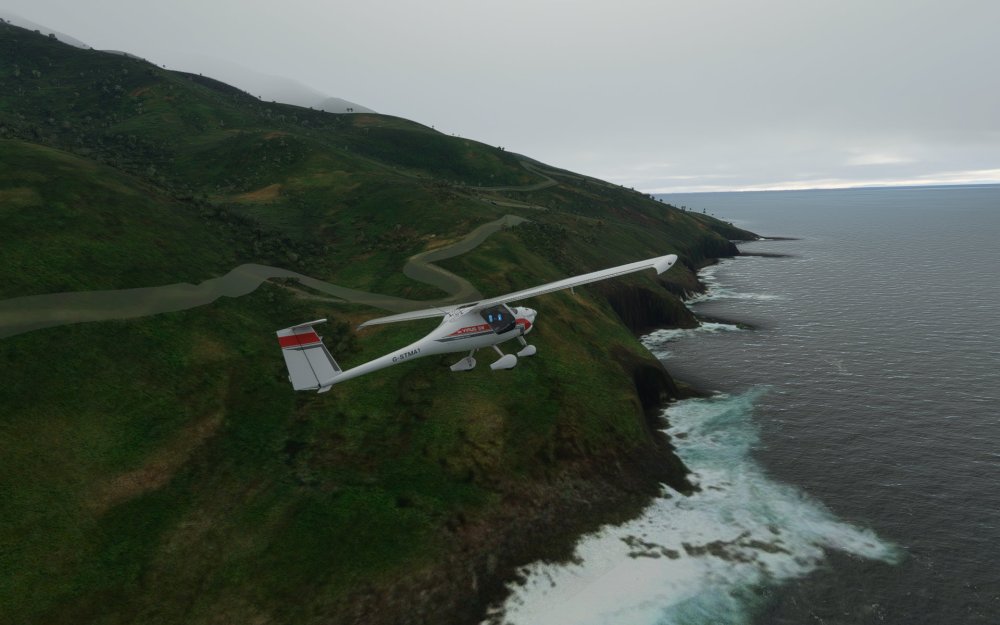
Second flight: Ultralight viewing
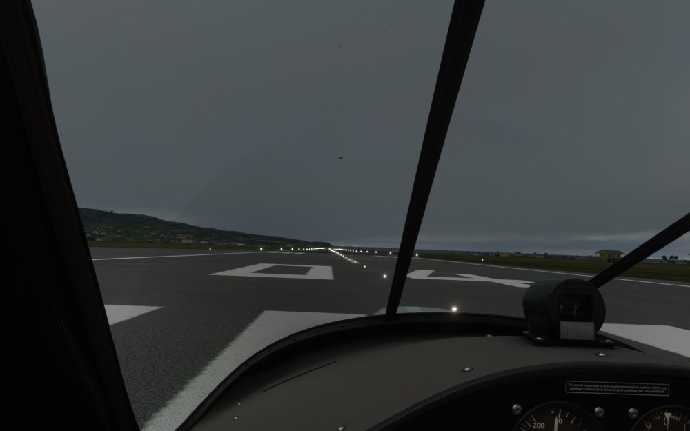
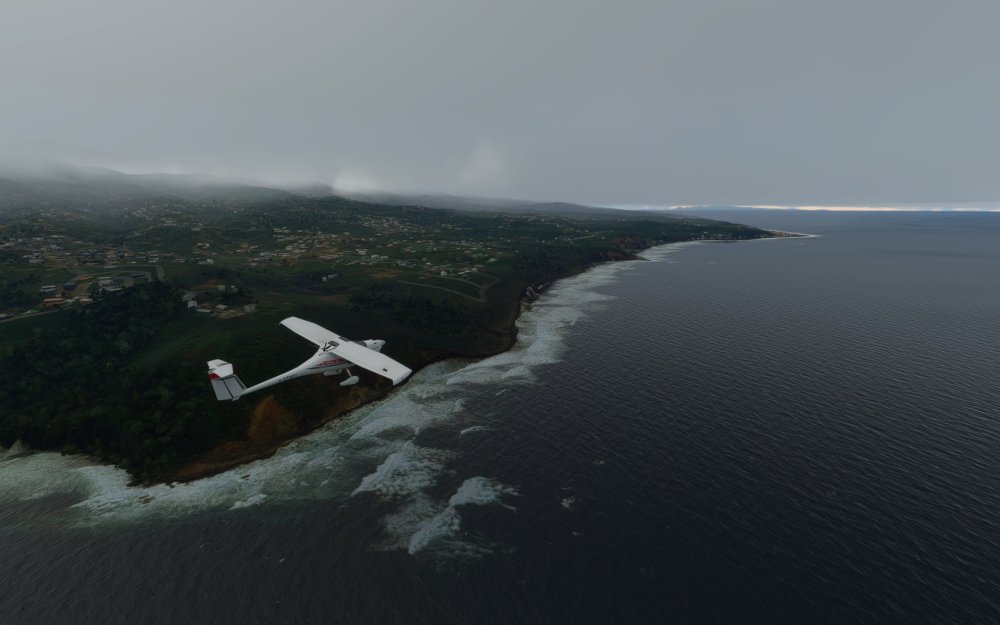
For my second flight I thought I’d try again but with a smaller aircraft and only for a short hop to the north of the island. This time, I selected the Pipistrel Virus SW and taxied to the runway in rather different conditions.
Another explosive blast had just occurred and the volcano appeared to be extremely active around that time moment so I thought I’d see what the system was reporting. Weather in Microsoft Flight Simulator does seem to sometimes be several hours behind the real world so I wasn’t sure if it would work.
I was greeted by low, dark clouds, an active thunderstorm, winds and rain. That made flying the Pipistrel around a bit more challenging, and, as I approached the volcano, it was clear that the mountain was deep inside the storm. Interesting! Was the system interpreting the ash and cloud as a localized thunderstorm?
Third flight: Away and to the north
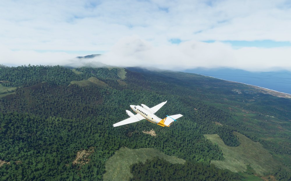
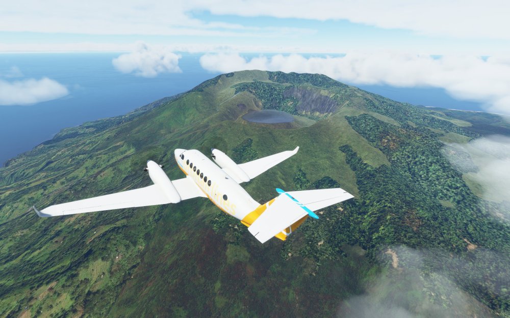
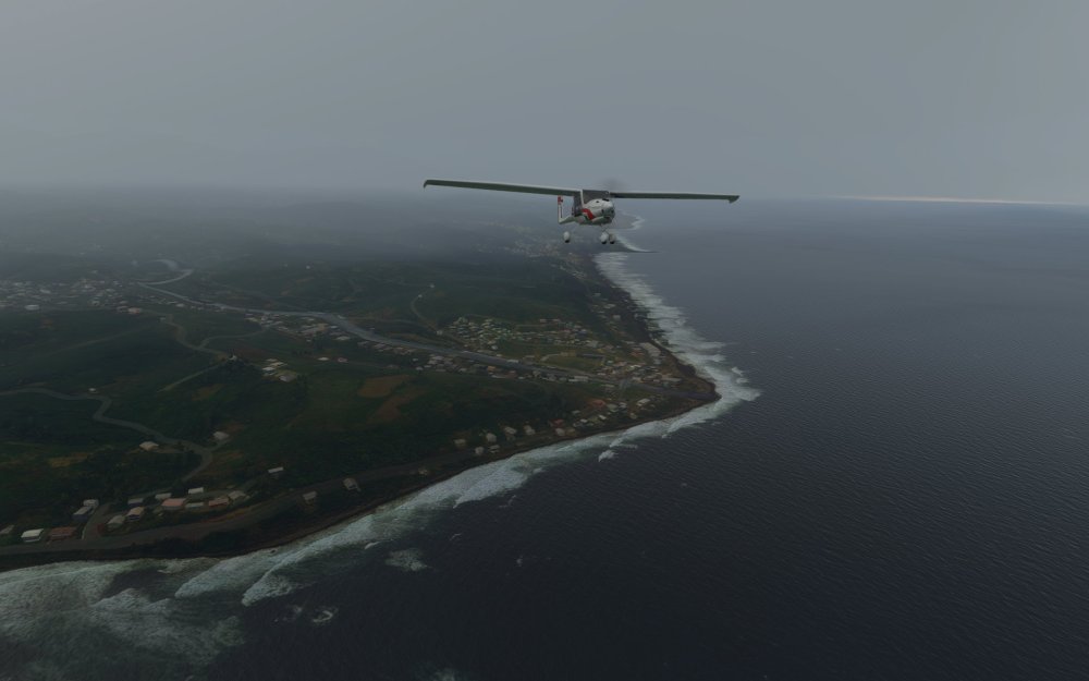
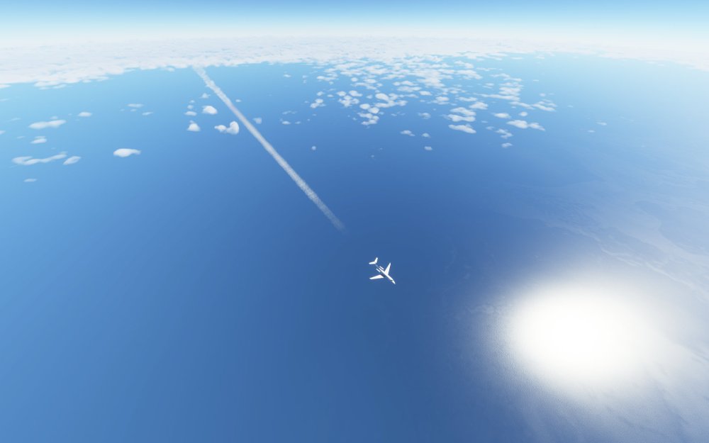
For my third flight I decided to take the Cessna Citation Latitude on a flight to the north of the island and away. This time I wanted to see if the storm was localized just over the island or not.
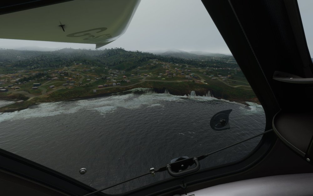
Again taking off from Argyle International Airport I punched through the same thunderstorm and low clouds over the island which extended up to around 15,000 feet before breaking through. As I climbed away from the island I discovered clear skies further to the north and the further away from the island I got the clearer the skies became.
By the time I landed at Pointe-à-Pitre International Airport on the island of Guadeloupe, it was clear to me that it just just St. Vincent under the storm.
I think it did capture it
The ability to even ask this question of a flight simulator is an interesting one to consider. Real and virtual world’s don’t always interact in this way, however, the ingestion of live weather into a simulated Earth means that the lines blur slightly and real world events have virtual world implications.
In my first flight, it wasn’t entirely clear if the sim’s weather system was picking up the volcano or the activity going on but in my two subsequent flights, I was definitely seeing a weather system localized to the island. Although the exact shape of the storm didn’t quite match the 50,000 foot ash cloud that the storm generated, I’m still relatively impressed that the weather engine was able to do anything at all with it.
Volcanoes and ash clouds also have the chance of generating lightning so I wonder if the conditions were enough to prompt the engine to setup a thunderstorm in this spot.
It’s hard to know exactly if this is the case but my anecdotal recordings of the live weather in the area seem to support it.
As it’s also happening at the same time as another volcano event is happening. Iceland’s Fagradalsfjall volcano has been erupting for almost a month, however, without the explosive ash cloud and 50,000 foot weather event, it seems that the Icelandic event will remain entirely in the real world.
Crossing my fingers for the people of St Vincent
Any time I do one of these flights in Microsoft Flight Simulator I feel it necessary to acknowledge both to myself and in my articles that this is a virtual experience for me but there are people and real world issues at play with major hurricanes and other disasters like this volcanic eruption.
Reporting has indicated that some of the recent explosive blasts has cause power disruptions and supplies that were being flown in have had to suspend operations due to the immense ash clouds and falling debris. There are serious humanitarian concerns for the island’s residents to be sure. I hope various emergency plans and agencies can help the people of St. Vincent.

Leave a reply to ShamrockOneFive Cancel reply