Part two of my DCS: Sinai preview is here and this time I’m looking at the Sinai desert part of the map. Here the conditions are more arid but there are some interesting features to explore. I also attempt to answer some of your questions too. Let’s have a look!
Desert but not only
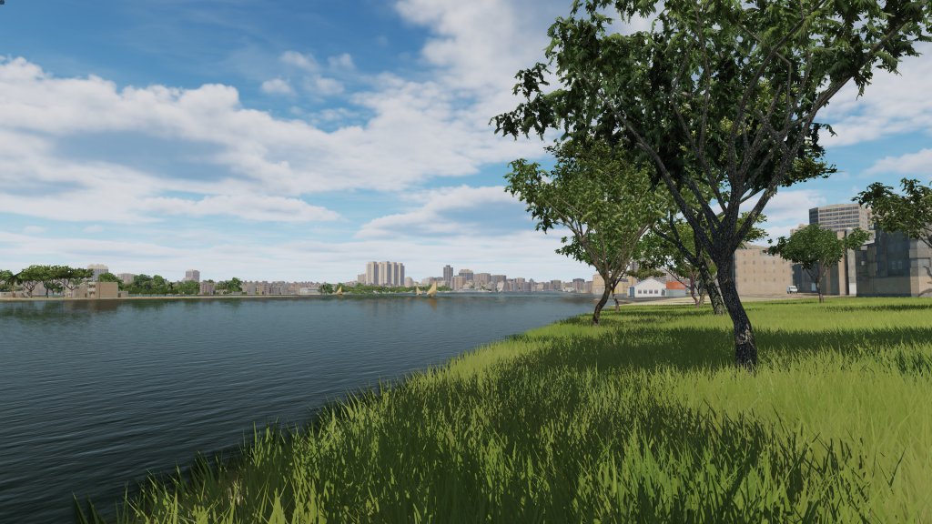
With Sinai preview part one, I focused on the Nile river delta region. In part because I wanted to show off that the map isn’t all desert. But those that charge that there is a lot of desert here… will be correct when it comes to Sinai itself.
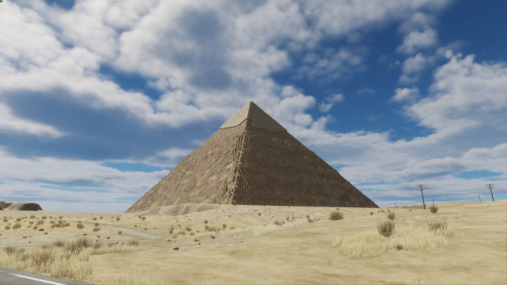
It’s arid for sure and that means that this part of the map has less to distinguish itself from other desert maps of which we have a small collection now.
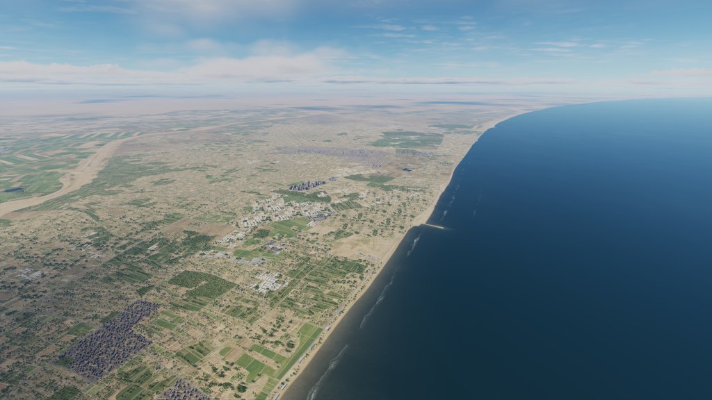
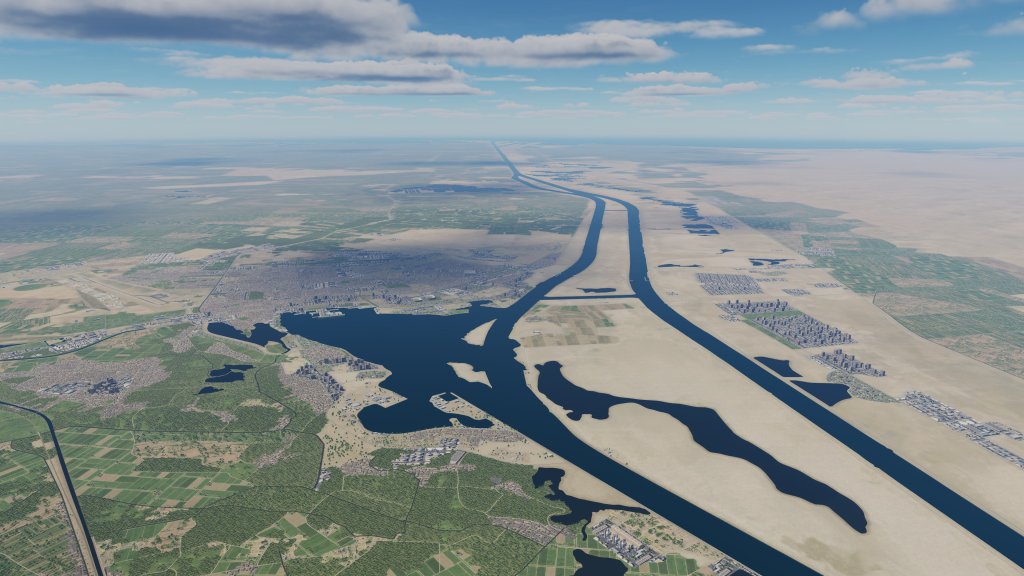
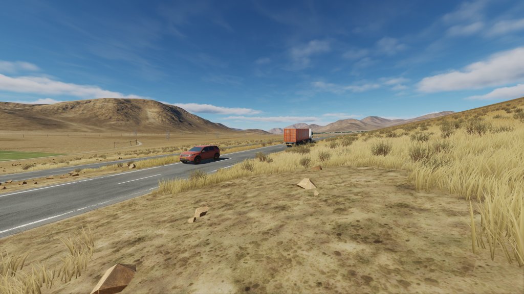
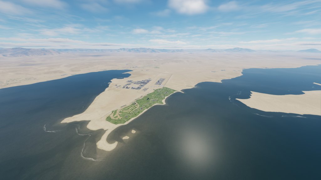
There’s three or four segments of this section of the map that I want to talk about. First, there’s the northern coast which is a tiny bit less arid and contains a mix of beaches, lakes, agriculture, towns and cities, and a few port facilities too. Look to the distance and things become more… remote.
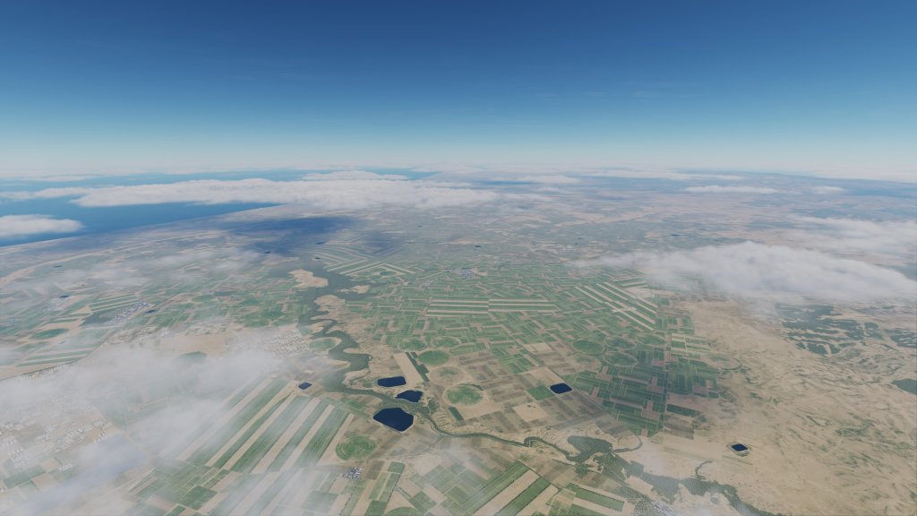


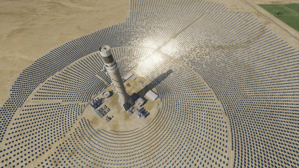
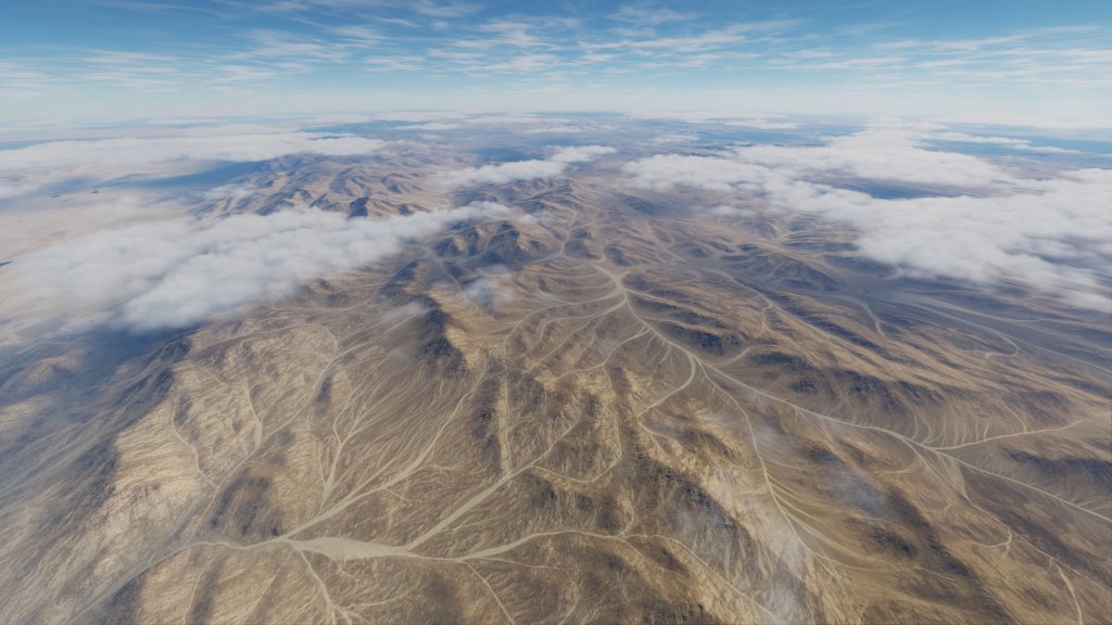
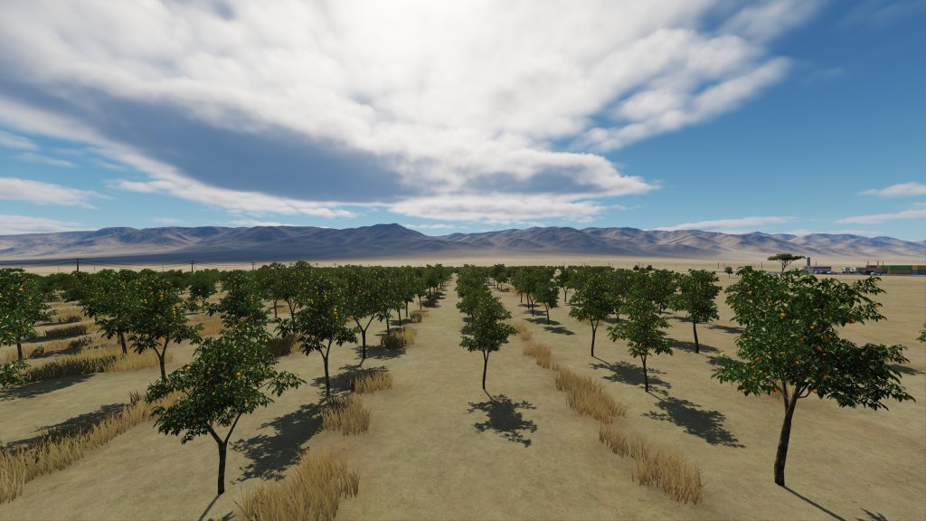
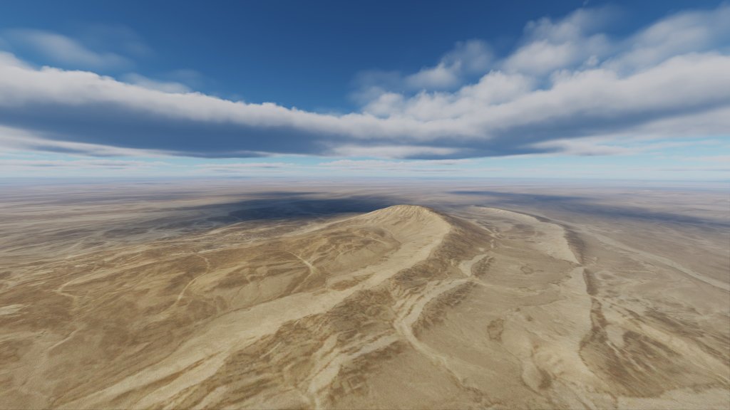
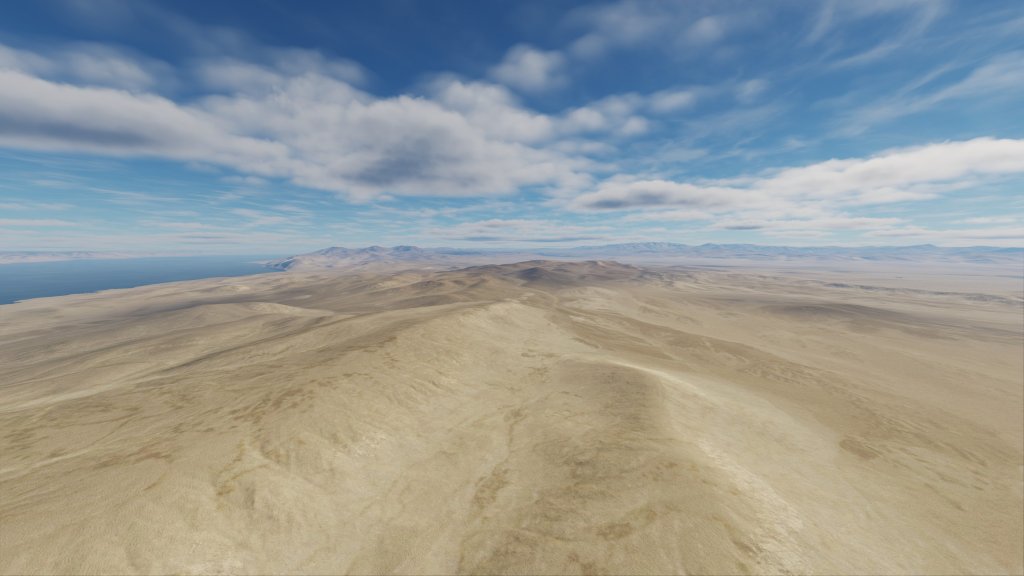
As we head south the central part of the Sinai peninsula area is desert with a flatland that stretches for hundreds of square kilometers. There are settlements and industrial facilities in this area but they are few and far between.
One of the most interesting is a solar power facility with mirrors and a central spire. The modeling is great!

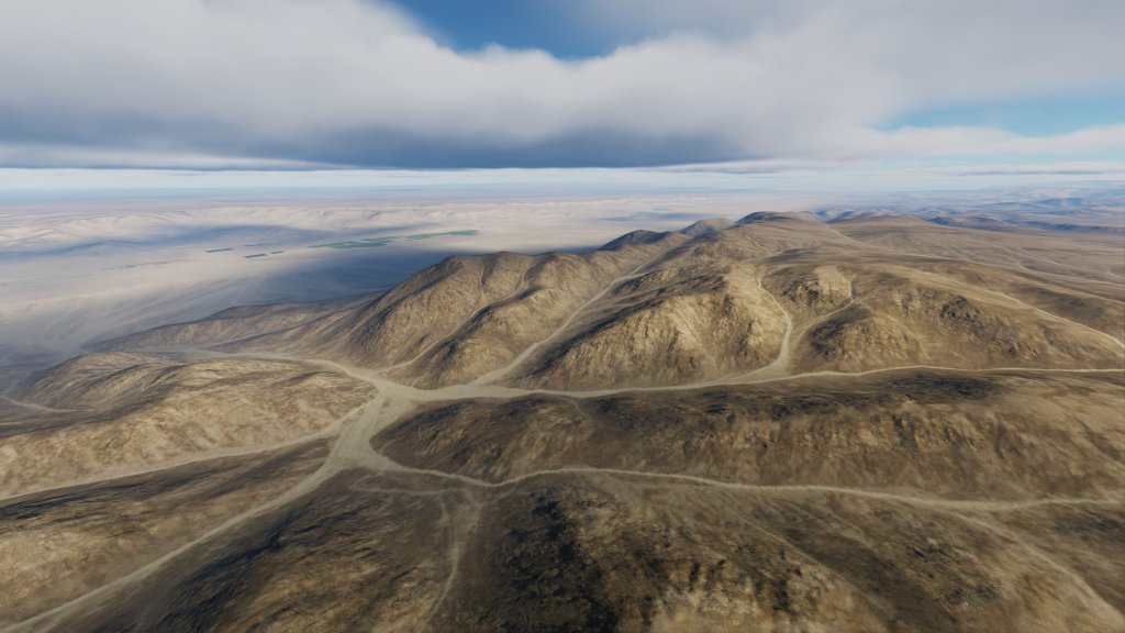
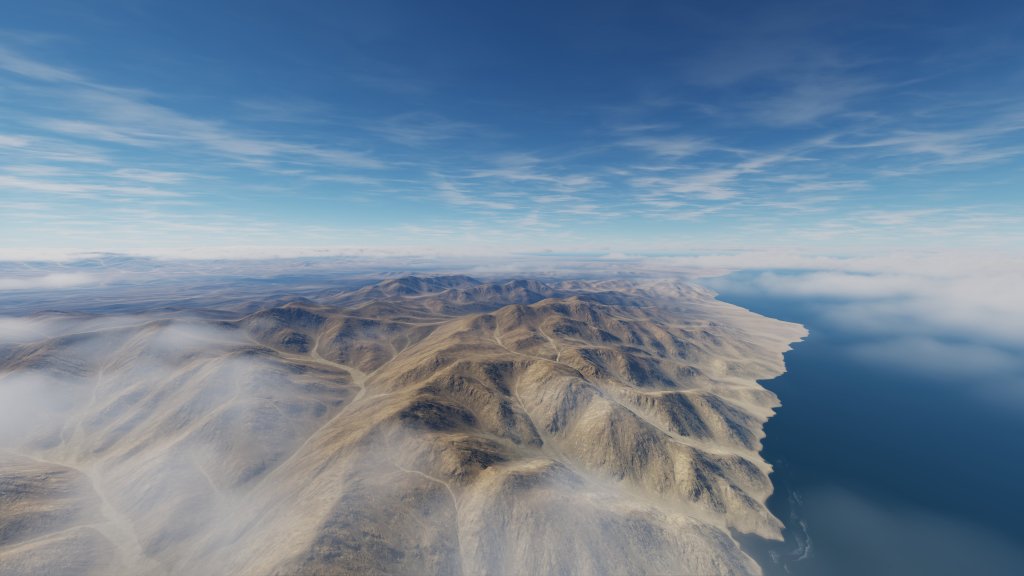
Then we get into the mountains. Here the map distinguishes itself a bit from prior maps with a higher resolution mesh that looks more natural than we’ve seen in DCS before. Performance, however, remains impressively quick in my experience. If you want some interesting jet duels in mountains this is probably the area to setup a battle – its not the Caucasus mountains but these are pretty good.
Eventually you go as far south as possible and reach the southern tip of the peninsula. On one side is the Gulf of Suez and on the other we have the Gulf of Aqaba. Both sides are similar in that they are long stretches of mostly desert coastline broken up by industrial facilities and some towns and cities.


Answering your questions
So a few questions came up from part one and I want to try and address them.
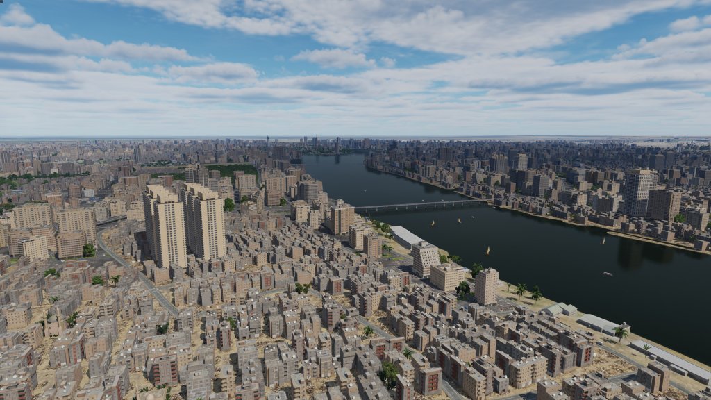
First, my settings are here. They are unfortunately not the settings I used in part one because textures somehow got set (or left) on low. My mistake! The overall look doesn’t change a ton but here are a few shots of Cairo with a higher level of texture on. Render and pre-load are set to maximum.


Another question is what the night lighting while on landing looks like. Well, here’s Cairo International at dusk with a C-130.

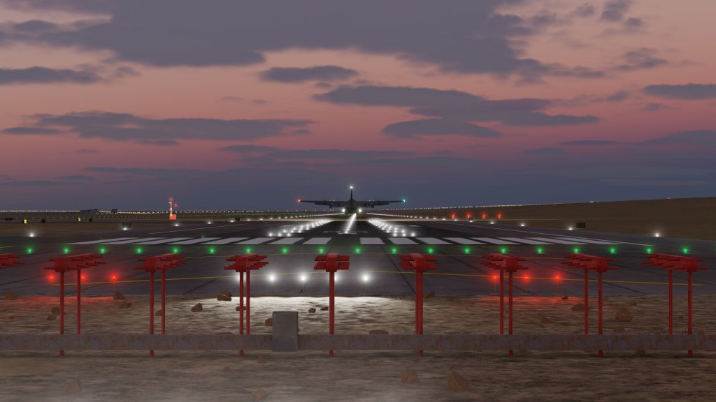

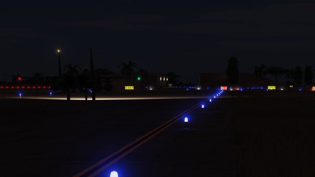
The we have Ramon Airbase also at dusk with an F-15E.


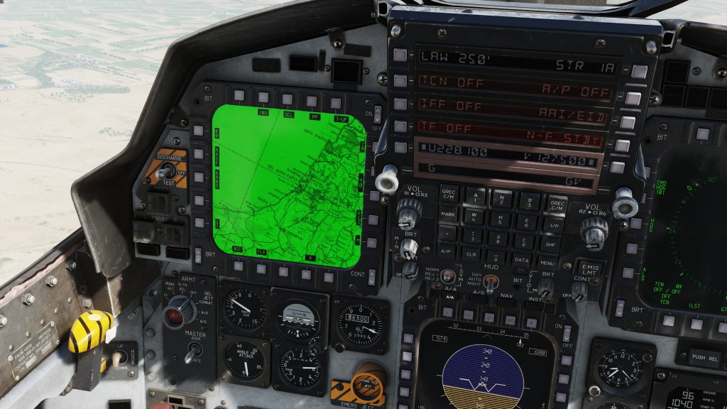
Finally, I had a question about moving map. The preview build has just the F-15E in it so I can’t test the Hind, Hornet or Apache but but the F-15E does have a moving map and that appears to be working well!
Part three will focus on Israel, the West Bank and the overlap with DCS: Syria.


Leave a reply to CanadaOne Cancel reply