
The Orbx TrueEarth series of products now extends all the way from Victoria British Columbia to just south of San Diego California with the announcement of TrueEarth Southern California. Let’s have a look!
Completing the west coast
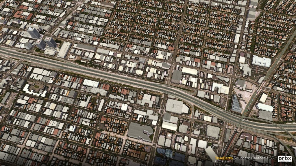
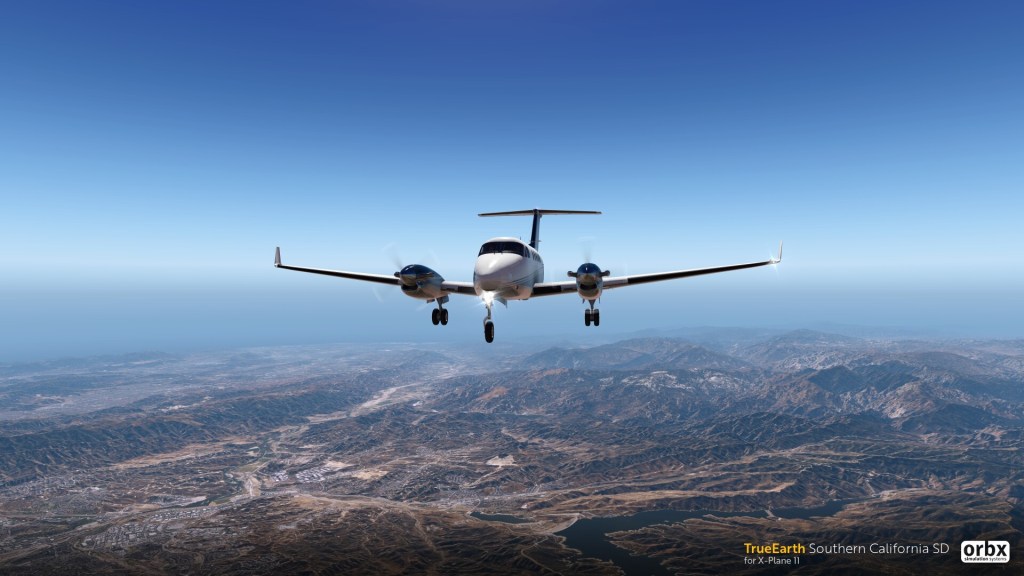
One of the biggest visual enhancements you can make to X-Plane, turning their bland world map into one with huge numbers of real world landmarks is the Orbx TrueEarth series and their new Southern California announcement is no different. This new release includes 250,000 square kilometers of colour corrected satellite imagery together with Orbx usual blend of hand placed and autogen objects.
The package includes 1,000 PBR textured hand placed objects and detailed cityscapes of Los Angeles and San Diego.
This package completes the west coast of the United States with detailed satellite imagery and both custom and autogen objects all the way from Washington state (and a bit of British Columbia) down to just south of San Diego. It’s an expensive proposition both in terms of price and hard disk storage but it is very appealing if you want to fly over large stretches of beautifully detailed scenery for X-Plane.
Orbx also reports that Southern California blends nicely with their previously released Northern California line-up.
Also of note is the freely available (via Orbx Direct) L52 Oceano County airport which provides a high detailed airport in the southern California region. It’s currently the only airport offered by Orbx in that zone but hopefully we’ll see them release a few more over time.
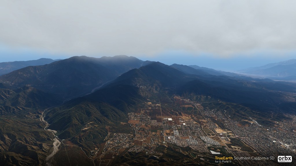
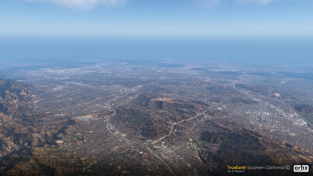
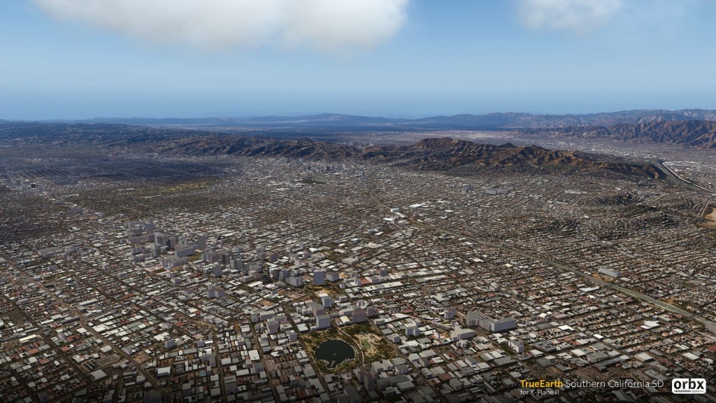
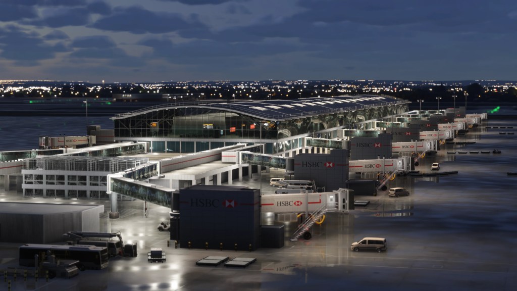
Let’s have a look at just some of the screenshots released as part of the announcement.
Available soon
Not yet available and with no specific release date, Orbx does report that this new release will become available via Orbx Direct soon. Taking a wild guess based on previous releases, it will likely retail for approximately $45 USD for the HD version and $37.99 USD for the SD version. More details on release!
For more, visit the official announcement on the Orbx forums.


Leave a comment