
The new map for IL-2 Series Korea packs in a lot of new visual elements and details that the previous generation of the IL-2 Sturmovik series did not have. More work is planned and a recent developer diary details what they have in store.
Rice fields, practice ranges and more


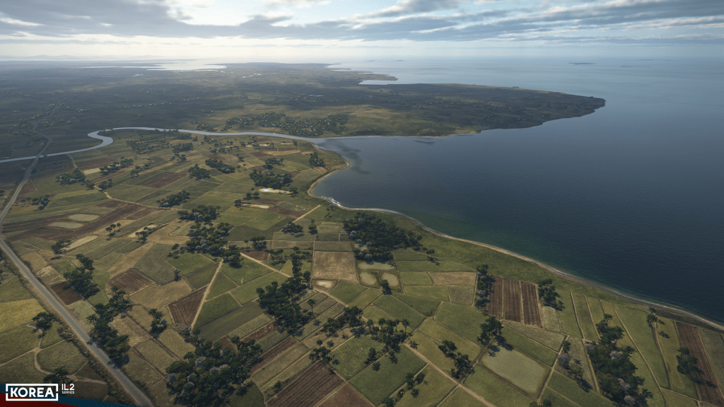


The Korean peninsula map that comes with IL-2 Series Korea is seeing additional development. New features and fixes are planned such as a solution for jumping and shrinking trees which reportedly has now been fixed. Performance drops around grass near runways is also being worked on and new technologies for grass rendering are on the way.
The map itself is picking up new features with greater diversity around river banks with overgrown, rockier, and sandier banks in various places. Additional objects including fishing boats, new piers and ports, jeeps, refueling trucks and other items are being added around the map.
Practice ranges used for practicing bombing and strafing attacks have also been added. A nice feature.
Flooded rice fields in spring and summer seasons have also been added which will also add some variation. In the autumn the fields are drained and so will take on a different appearance then and of course snow covered in the winter.






Leave a Reply