One of the best things about Microsoft Flight Simulator is the sense that you’re going somewhere or that you’ve been somewhere. High resolution streaming ortho imagery from across the planet, AI generated autogen, photogrammetry, and some high quality third party scenery can come together to give you a unique simulated flying experience. In this flight journal, I had that feeling in spades as I flew with some friends across the Hawaiian island of Maui.
Touring, with friends
From the start, this flight was setup to be a group flight. Jon (creator of Roger Meatball and other flight related titles) and Utopioneer (creator of the IL-2 Flight School campaigns), whom have both been guests on the Stormbirds podcast, joined together in a group to do this flight. Unfortunately, due to some MSFS weirdness, I could only ever see Jon and never Utopioneer despite belonging to the same group and having the same servers and settings.
We made the best of it and described what we were seeing to each other as we cruised along anyways. It was terrific fun!
Hana to Kapalua
We set out an ambitious goal of flying between two islands but, by the time we were done, the journey only encompassed Maui. We’ll be back to do another run sometime to cover the next segment.
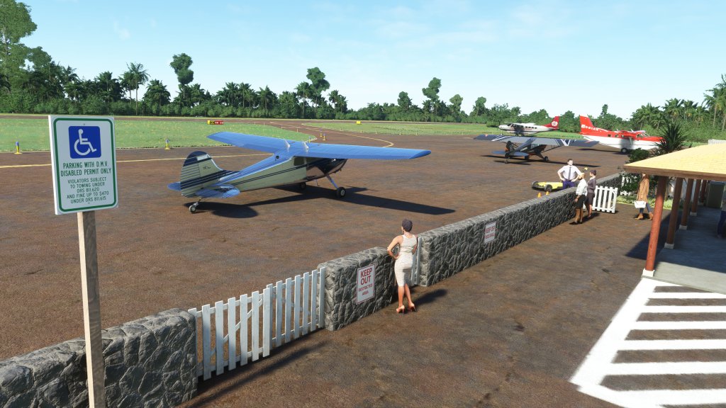
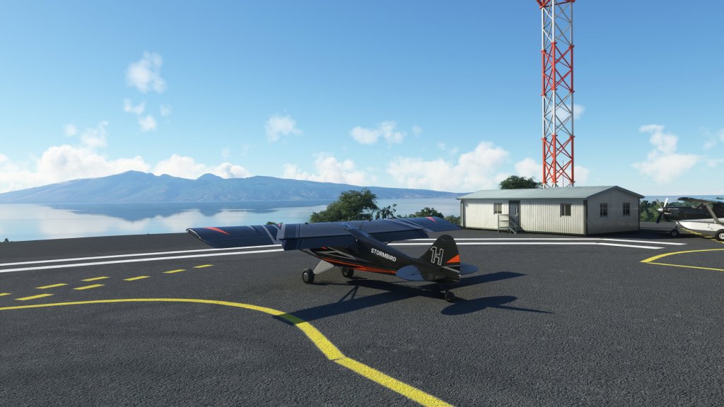
Our departure point was the small airstrip at Hana. PHHN Hana is a Orbx sold scenery pack from the folks at Northern Sky Studios. They have released a series of airports around the world (I reviewed their PAWD Seward airport here) with a particular focus on Hawaii.
This is a super detailed package with building interiors, lots of people placed around in a scene, detailed cars, radio antenna, aircraft tie-downs, and even some upgrades to the surrounding cliff faces. This is very much a GA type airport with just enough runway for most small to medium sized aircraft.
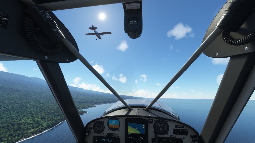
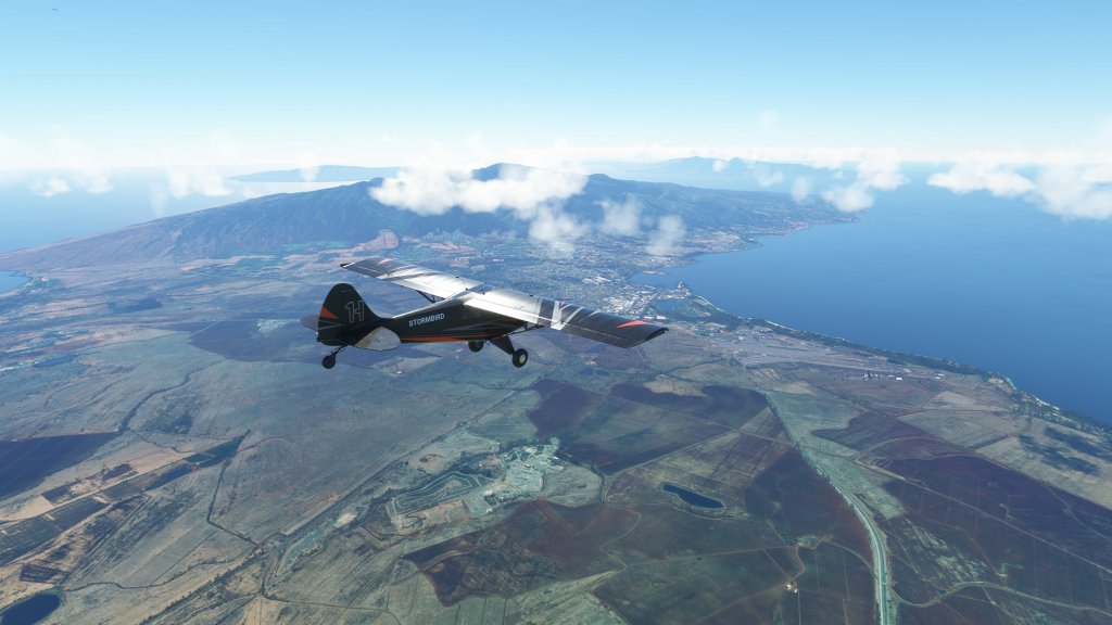
I selected the Asobo Husky A1C. It’s been a little while since I flew it and I figured it was time to enjoy this plane again. A terrific performer with great capability and minimal but useful avionics made flying it a blast. Jon was up in the Carenado Cessna 150.
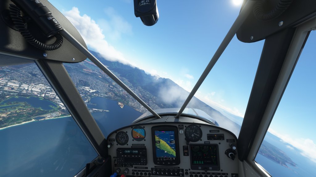
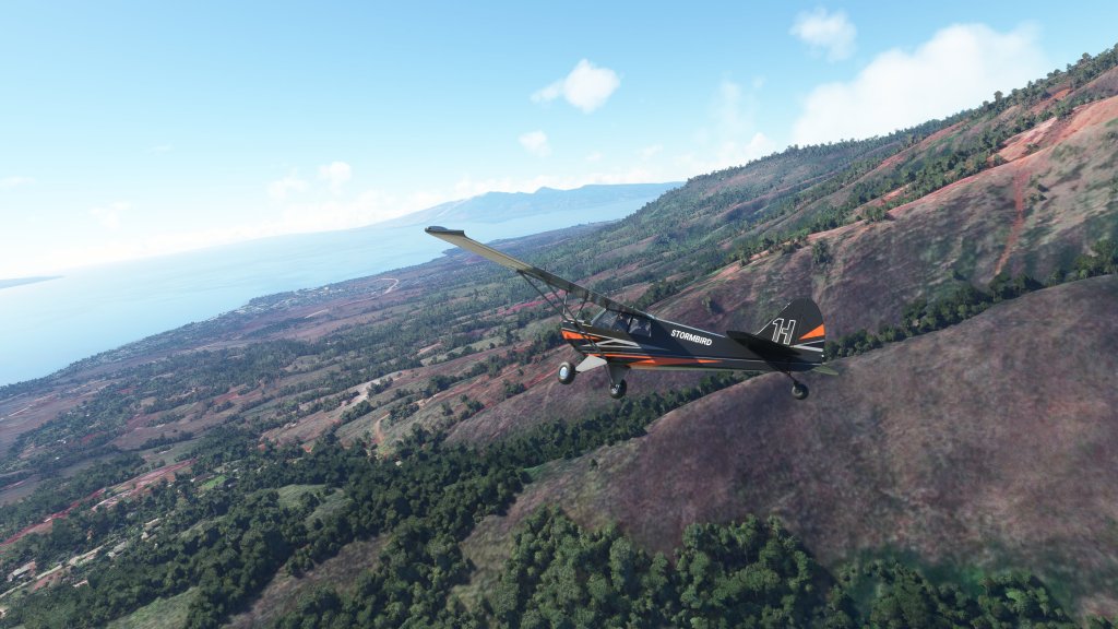
We flew a course following the northern coast of Maui gaining altitude and looking for an opportunity to get into the nearby Haleakalā National Park and its 10,000 foot high dormant volcano and its stunning crater.


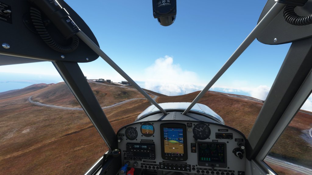
We were not disappointed when we arrived as the views were incredible both down the mountain and within the crater itself. It has a “Mars-like” quality to it with reddish hues and rough terrain. We were also treated to MSFS’ impressive wind modeling around the contours of the volcano. Jon Cessna 150, in particular, managed to take full advantage of the added lift to climb over some obstacles.
We then overflew the Haleakala Observatory. This is a research observatory located on a peak of the mountain range. MSFS models the buildings with a rough approximation but there’s no specific POI here so we had to imagine some of the telescopes and other observatory equipment located here.


Then we descended off the mountain and over Kahului. Here we spotted the relatively large Kahului Airport, deep water harbour, and nearby suburbs.
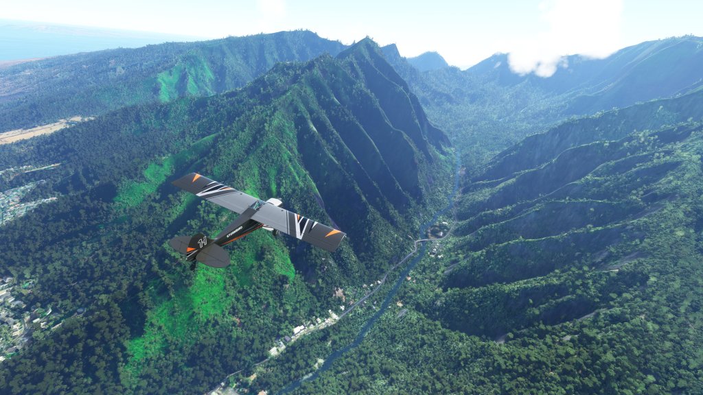
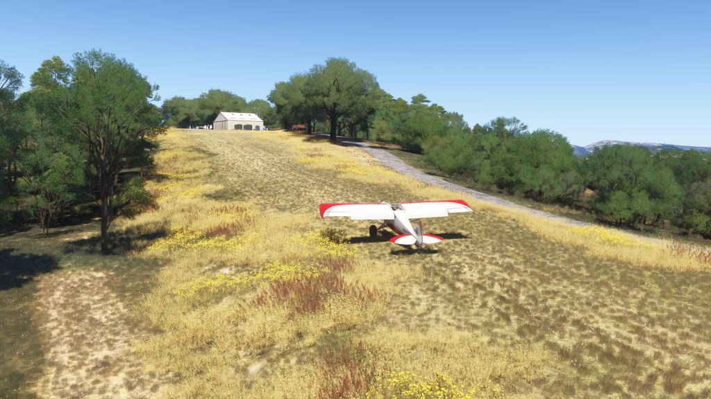
After overflying the city, we were back to flying in the mountains and we cut up a scenic valley. I later learned that this was the ʻĪao Valley State Monument. In real life this area offers lush scenery and impressive hiking trails. Here the MSFS terrain engine and available satellite imagery failed us a little bit as the vegetation and stretched satellite imagery was less convincing.
Nonetheless, the tour up the valley was impressive and exiting it gave us an incredible view of nearby Lanai island.


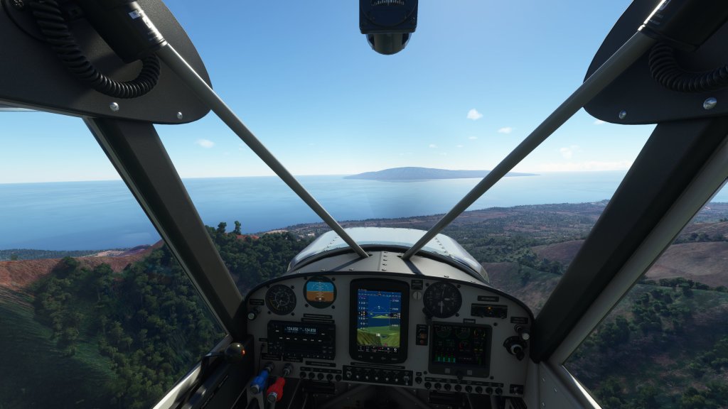
The trip was now nearly over as we descended into Kapalua Airport. Jon had the scenery package for this airport and was treated to an incredible view of the runway and facilities. I did not so my screenshots and his landing video will different.


Have a look at our semi-formation landing (and at my floating airplane making use of the default terrain data).
Another fun trip in MSFS made even better by doing it with friends! We plan to do another trip through some more segments of Hawaii soon.


Leave a comment