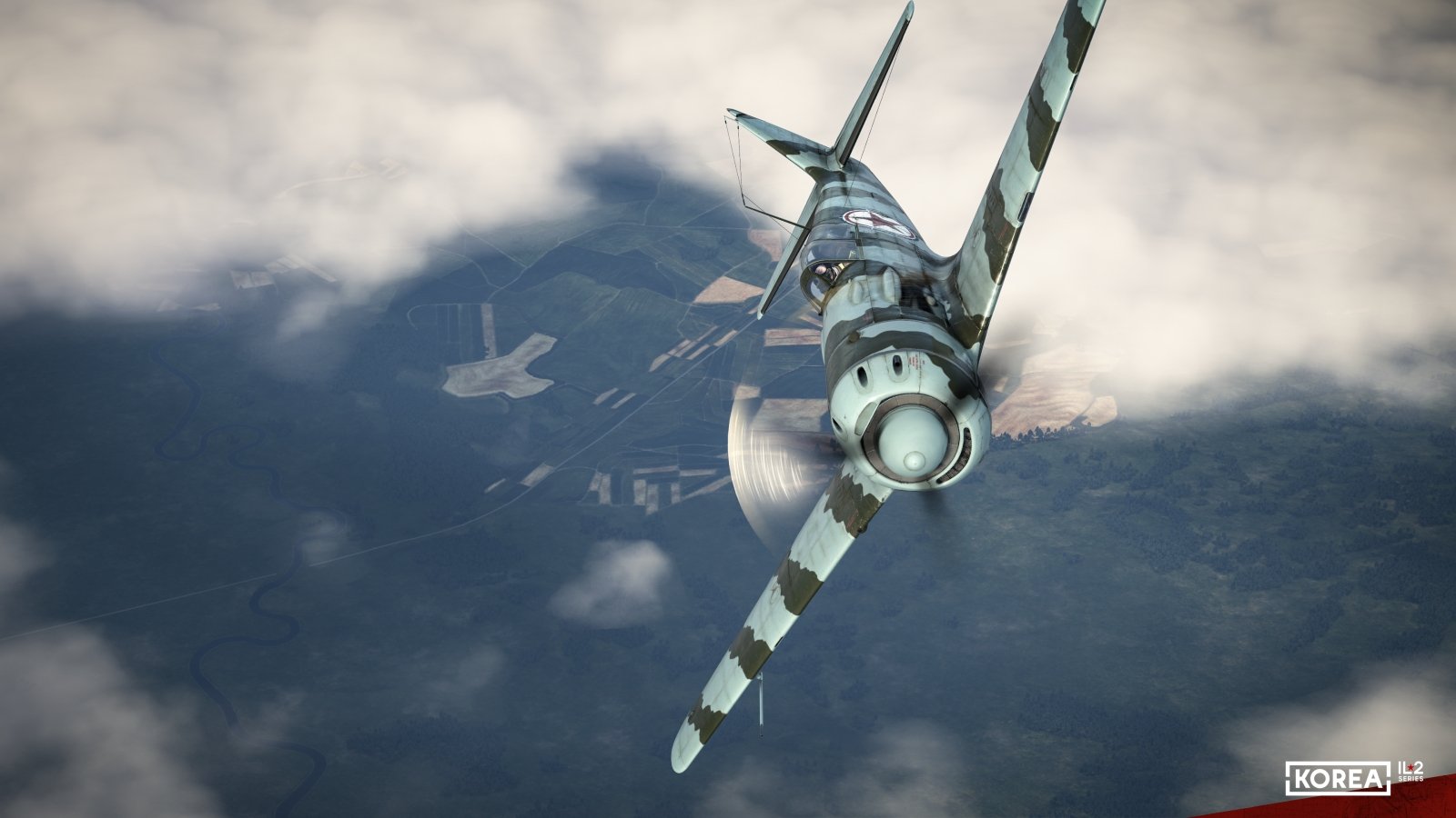
I’ve previously reviewed the LaGG-3 Series 4 and I-153 for IL-2’s Siege and Liberation release but I haven’t really focused all that much on the new Odessa map. Consider this article to be a mini-review of what the map has on offer.
The art style
The Odessa map’s history in the series goes back almost a decade. I reported on it and news surrounding the map’s early stages back in 2016. Work on it slowed and likely stopped at some point before picking back up again around a year ago according to the comments that I’ve read. Some of those early efforts informs what we have today.
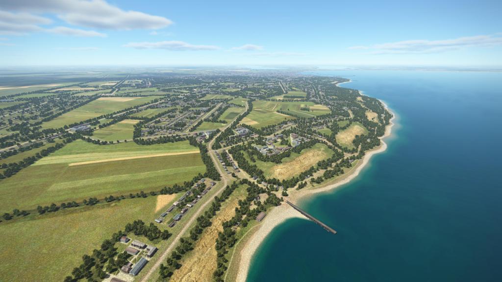
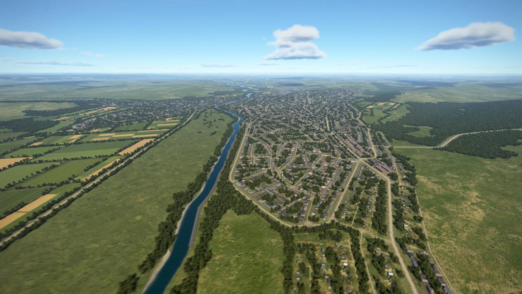
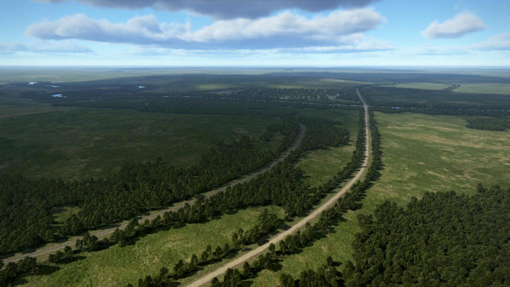
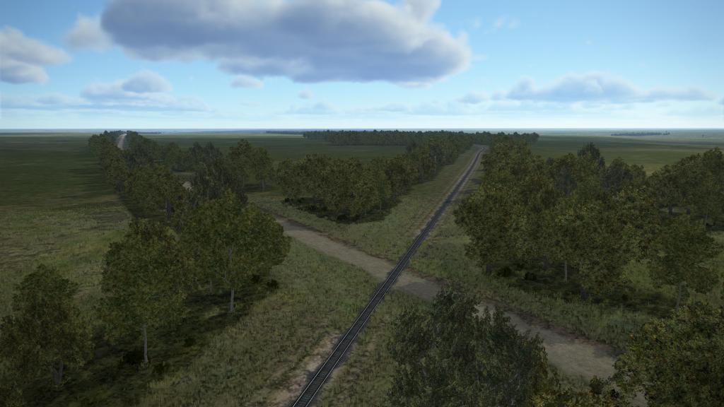
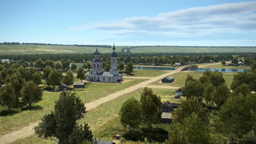
The style of the map is very much of a “green” one featuring plenty of agricultural areas with interspersed rivers, road, rail and a mix of small and larger villages, towns, and a few cities. This makes it most like the Kuban map at a core level without the more arid steppe for Stalingrad or the autumn or winter scheme the dominated the Moscow map.
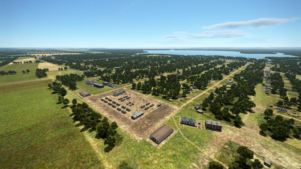
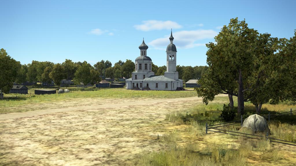
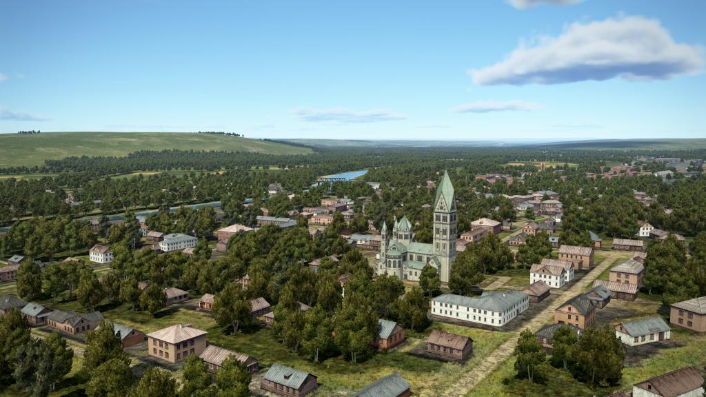
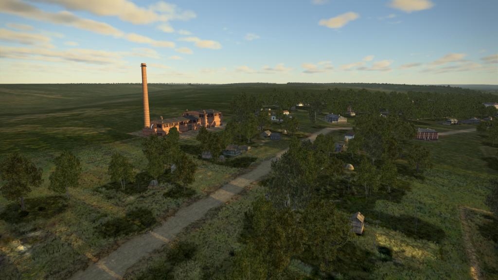
There are some unique assets setup for this map with a few key landmarks, statues, lighthouses, row houses and other features unique to the map while the rest of the map is laid out using assets developed previously. Its not unusual for the Great Battles series to do that, however, I feel here this is a bit more than the usual. That gives me the sense that the map was given time to be finished but not necessarily to strike out on its own all that much.
The biggest issue I have with that is not the assets themselves but more with the landscape tiles. They blend reasonably well with the terrain but I do wish they took on their own character – perhaps with a subtlety different set of colours to make it distinct from Kuban.
Up to now, I could always tell which map I was looking at but with the Odessa map its a bit harder to guess. Because the IL-2 Great Battles map style works its way back and forth between real world simulation and a slightly artistic impression, I do kind of wish for something unique. Make the fields a different shade of brown and yellow? A slight shift in the shade of green? Give it a unique look.
The different regions
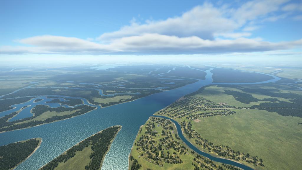


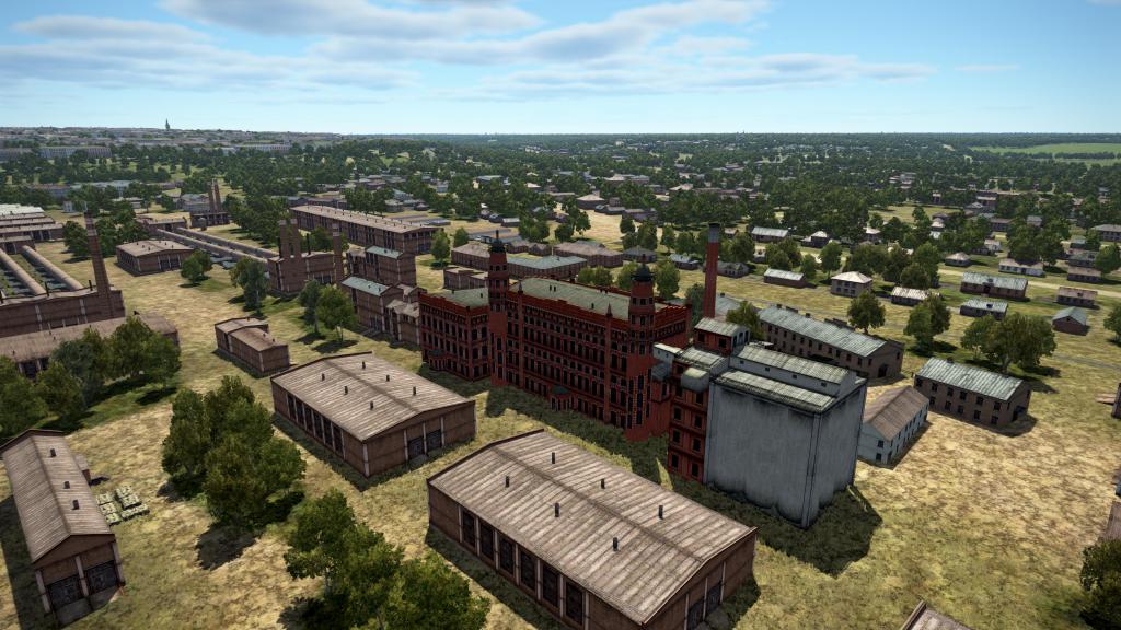
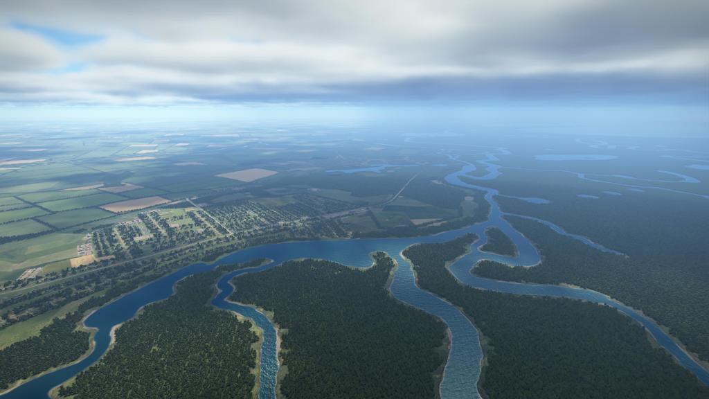
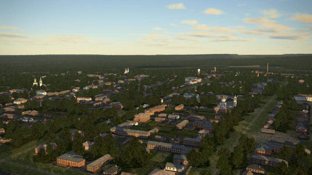
The first region of the map that I want to focus on is the area that I think is intended to be the centrepiece of the whole map. The area along the Dnister River including Ribnitsa Tiraspol, Kishinev, and Odessa itself are a mix of subtle hills, rivers big and small, and agricultural fields. Note, I’m using the names as labeled on the map, however, I know some of these have changed either in subtle or more significant ways in the last 70-years. For specificity with the in-sim experience, I’m using them as they were labeled.
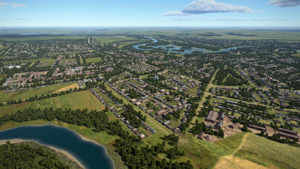
The area here is probably the most interesting and the most dense both in terms of settlements and airports and where you see the most agricultural areas.
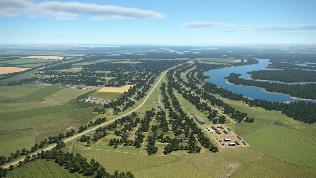
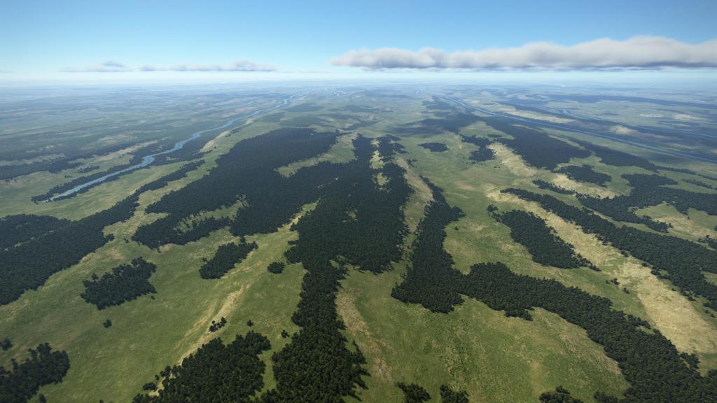
Travel to the north eastern side of the map and you get away from some of the more dense settlements. There’s still agriculture but less of it and more of the kind of barren looking steppe style of texturing that we’ve seen on some of the other maps. Its more green than Stalingrad but it has that kind of bleak flatness. There are still literally dozens upon dozens of smaller towns and settlements out in this area so its not like there isn’t anything to look at.
Head on over to the west side of the map and you have Iași right on the edge of the map. This is well detailed and has quite a few buildings packed into the area. There are more rolling hills here than the flatness that you’ll find elsewhere. To be clear again, Odessa is not an entirely flat map but you don’t see dramatic hills here and nor will you see the mountain ranges found on the Kuban map.
There are some slightly more unique formations if you go just south of Bârlad along the south western edge of the map. Here there are long striations with a series of hills and valleys with enough slope elevation to cause a change of texture. It’s a little more dramatic looking than some of the other areas on the map. If my geographical memory is correct, formations like this are likely caused by the last ice age as the retreating ice formations literally clawed their way out of the area.
While most of the aerial battles will probably focus in on the central area and out to the coast, there are a few small regional differences you can find across the map. Its nothing as dramatic as the Kuban map but there’s at least something you can look for while you’re flying about.

Quality of presentation
Having spent a couple of hours flying over the map and probably another hour zooming around to have a look at it from above and down low, I do wish to report that most of the quality of presentation of the map is very good. What do I mean by that?
I’m talking here about how objects are arranged, if there are serious problems or floating objects, or that sort of thing that hurts the presentation and takes you out of the simulation a little bit. I did find a few weird looking fences on some hills in a few villages but by and large the presentation is good.
There are a few instances where some bridges may not fit the environment as well as they could but its nothing new for the series. Importantly, it seems to be functional enough to support vehicle crossing and convoy movement.
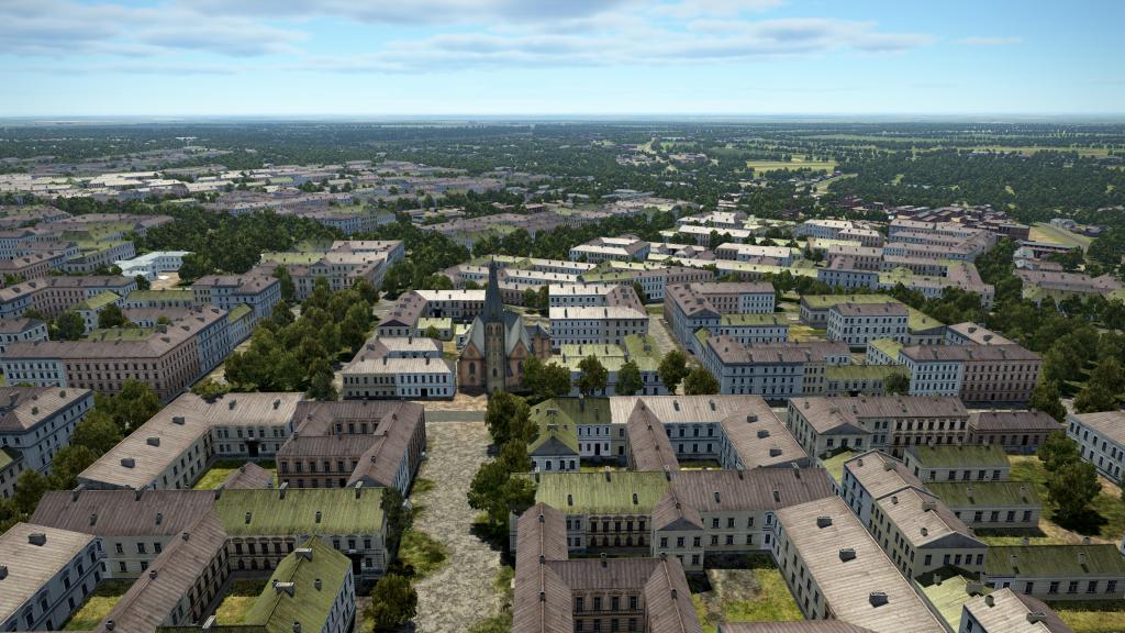
There’s a good sense of the historical layouts of these towns and cities (certainly smaller and less interconnected than they are today) working their way around local land formations. There is lots of repetition and shared assets as mentioned but they seem to have been laid out well.
Navigational ease
One of the tricks and challenges of the IL-2 series is navigation. If you’re flying on this map on an online server with icons off, you may find yourself struggling to locate yourself without some useful geographical features. How does this map do?
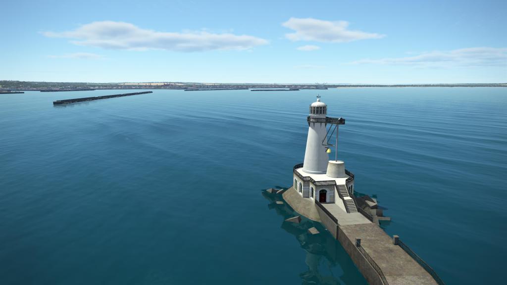
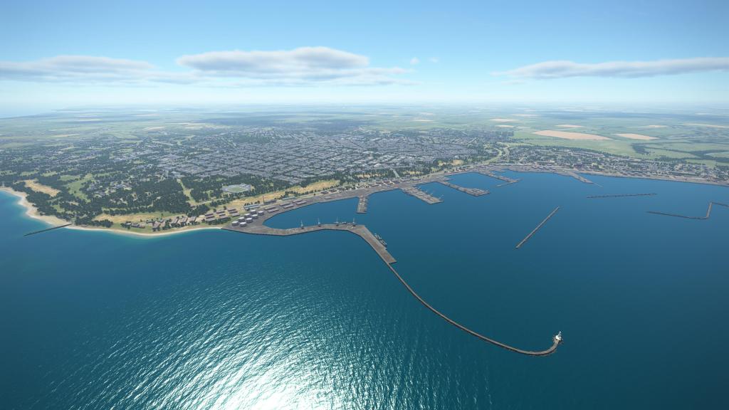
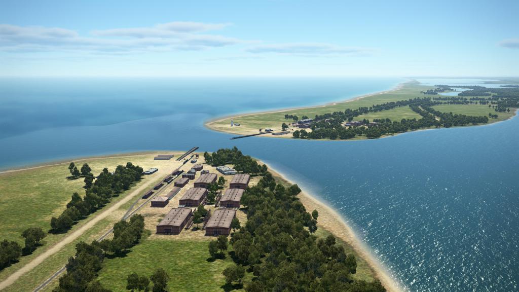
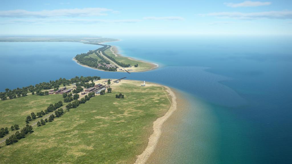
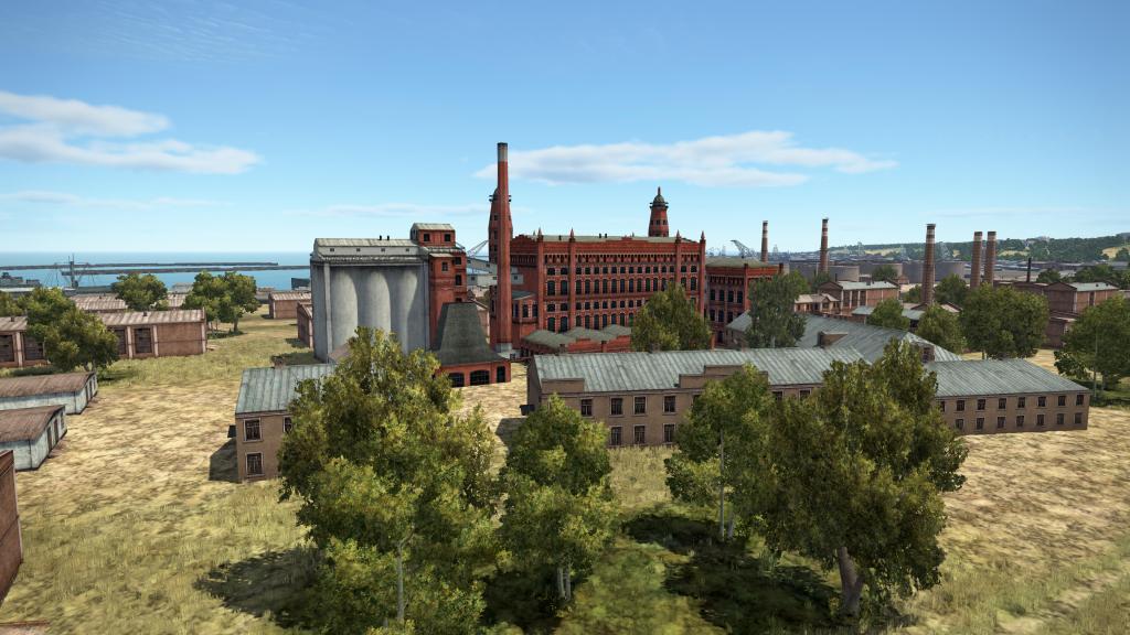
If you’re flying near Odessa or anywhere along the coast, you’ll have a very easy marker to work from. The port itself is quite easy to see and use as a navigational aid. The coast changes a little bit depending on if you’re to the east of the city or to the south west where various lagoons, tidal islands, and spits can be found.
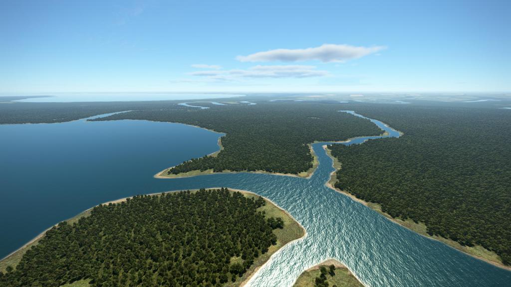
Navigation along the Dnister River is also relatively achievable. The roads, smaller and larger settlements, few cities, and airbases make for key landmarks that you can use for mission planning.
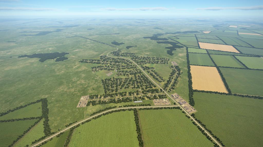
Where things will be challenging for average flyers is when you get into some of these other zones outside of that. How do you distinguish the shape of this small circular village with that other one? It’s not impossible as IL-2 has great map readability but it can get hard when you have a spiderweb of roads rivers and towns. My strategy is to use the bigger landmarks and ample use of the map based ruler system to plan your point to point navigation.
Final thoughts
Odessa map, though feeling like a rehash of past hits, is a decent enough map experience for IL-2 Great Battles.
I do wish it had something that made it a little unique in how it was presented from an artistic standpoint. Something that made it just a little more distinct from Kuban. I understand the geographical proximity and the limited scope of the project have kept some of the efforts to be quite modest (Korea is the focus of the majority of development these days). Still, some subtle variation would be great.
Despite my complaints, it is still a quality presentation of a historical area with no real issues that I can see in terms of offering up some gameplay experiences. Some interesting airport layouts and a just large enough geographical area should make the campaign here interesting, if familiar.
I suspect the Finnish map, with its abundance of custom assets and a more unique geographical features, will overshadow this one in the release. Still, this one should hopefully prove popular online and off.

Leave a comment